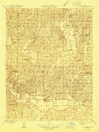
1946 Map of Pattonsburg
USGS Topo · Published 1946About this map
The Grand River and its major tributaries, including Sampson Creek and Big Creek, dictate the movement and settlement patterns across this section of Daviess, Gentry, and Harrison counties. Pattonsburg serves as a primary hub along the Wabash railroad, which follows the northern bank of the river, while the Chicago Burlington and Quincy line provides north-south transit through McFall. The map reveals an exceptionally dense network of rural infrastructure during the mid-1940s, characterized by dozens of local schools such as Shady Dell Sch, Virginia Ridge Sch, and Hickory Grove Sch.
Find a feature on this map
78 named features on this map. Tap any name to fly to it.
Don’t see what you’re looking for? This feature index may not catch every label — zoom into the map to look around manually.
Map Details
Editions of this 1946 Pattonsburg Map
This is the sole edition of this map. No revisions or reprints were ever made.
Other maps of this area
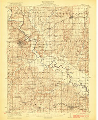
1922 · Gallatin
USGS Topo · 1:62,500
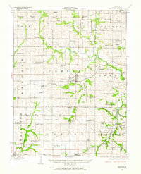
1923 · Maysville
USGS Topo · 1:62,500
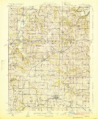
1924 · Winston
USGS Topo · 1:62,500
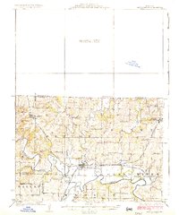
1925 · Pattonsburg
USGS Topo · 1:62,500
1925 · Gilman
USGS Topo · 1:62,500
1925 · Maysville
USGS Topo · 1:62,500
1925 · Darlington
USGS Topo · 1:62,500
1942 · Grant City
USGS Topo · 1:62,500
1943 · Grant City
USGS Topo · 1:62,500
1944 · Pattonsburg
USGS Topo · 1:62,500