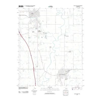
2009 Map of Pauls Valley
USGS Topo · Published 2009About this map
The Washita River meanders through this portion of Garvin County, anchoring the settlements of Pauls Valley in the north and Wynnewood in the south. This landscape is defined by its water management and petroleum extraction history, evidenced by the Southeast Pauls Valley Oil Field and a series of flood control structures like the Kickapoo Sandy Creek Site N1 Dam. Genealogists will find several burial grounds mapped, including Bethlehem Cemetery, Mount Olivet Cemetery, and Oaklawn Cemetery.
Find a feature on this map
43 named features on this map. Tap any name to fly to it.
Don’t see what you’re looking for? This feature index may not catch every label — zoom into the map to look around manually.
Map Details
Editions of this 2009 Pauls Valley Map
This is the sole edition of this map. No revisions or reprints were ever made.
Other maps of this area

1898 · Pauls Valley
USGS Topo · 1:125,000

1902 · Pauls Valley
USGS Topo · 1:125,000

1957 · Ardmore
USGS Topo · 1:250,000

1963 · Ardmore
USGS Topo · 1:250,000

1964 · Byars
USGS Topo · 1:24,000

1965 · Pauls Valley NE
USGS Topo · 1:24,000

1965 · Byars SW
USGS Topo · 1:24,000

1965 · Pauls Valley
USGS Topo · 1:24,000

1965 · Davis
USGS Topo · 1:24,000

1965 · Joy
USGS Topo · 1:24,000