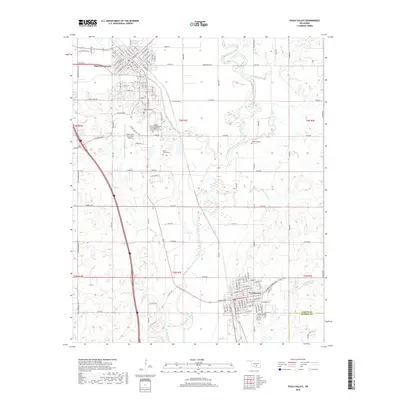
2018 Map of Pauls Valley
USGS Topo · Published 2018About this map
Pauls Valley and Wynnewood anchor this southern Oklahoma landscape along the meandering Washita River. The river's path is joined by several tributaries, including Rush Creek, Wolf Cr, and Negro Sandy Cr, creating a complex network of waterways that historically dictated settlement patterns and agriculture. In the northern section, the dense street grid of Pauls Valley features a concentration of local history markers, notably The Old Cem, Bethlehem Cem, and Mount Olivet Cem.
Find a feature on this map
135 named features on this map. Tap any name to fly to it.
Don’t see what you’re looking for? This feature index may not catch every label — zoom into the map to look around manually.
Map Details
Editions of this 2018 Pauls Valley Map
This is the sole edition of this map. No revisions or reprints were ever made.
Other maps of this area

1898 · Pauls Valley
USGS Topo · 1:125,000

1902 · Pauls Valley
USGS Topo · 1:125,000

1957 · Ardmore
USGS Topo · 1:250,000

1963 · Ardmore
USGS Topo · 1:250,000

1964 · Byars
USGS Topo · 1:24,000

1965 · Pauls Valley NE
USGS Topo · 1:24,000

1965 · Byars SW
USGS Topo · 1:24,000

1965 · Pauls Valley
USGS Topo · 1:24,000

1965 · Davis
USGS Topo · 1:24,000

1965 · Joy
USGS Topo · 1:24,000