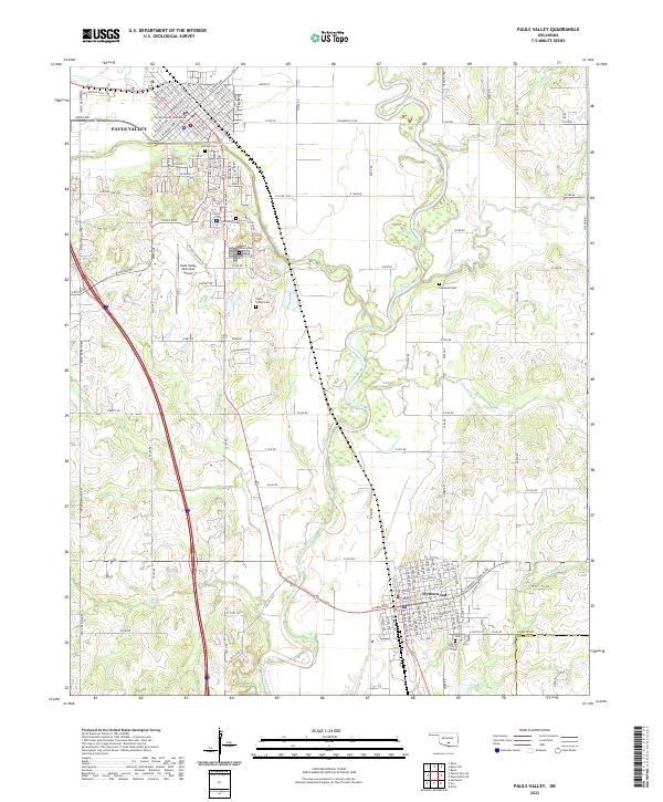
2022 Map of Pauls Valley
USGS Topo · Published 2022About this map
The Washita River meanders south from the city center of Pauls Valley, serving as the primary geographic feature in this part of Garvin County. The town site itself is heavily detailed with an extensive street grid including N Walnut St and S Cherry St, centered around the Garvin County Courthouse. To the south, the community of Wynnewood sits just north of the Garvin Co and Murray Co line, anchored by its own residential developments and the Oaklawn Cem.
Find a feature on this map
134 named features on this map. Tap any name to fly to it.
Don’t see what you’re looking for? This feature index may not catch every label — zoom into the map to look around manually.
Map Details
Editions of this 2022 Pauls Valley Map
This is the sole edition of this map. No revisions or reprints were ever made.
Other maps of this area

1898 · Pauls Valley
USGS Topo · 1:125,000

1902 · Pauls Valley
USGS Topo · 1:125,000

1957 · Ardmore
USGS Topo · 1:250,000

1963 · Ardmore
USGS Topo · 1:250,000

1964 · Byars
USGS Topo · 1:24,000

1965 · Pauls Valley NE
USGS Topo · 1:24,000

1965 · Byars SW
USGS Topo · 1:24,000

1965 · Pauls Valley
USGS Topo · 1:24,000

1965 · Davis
USGS Topo · 1:24,000

1965 · Joy
USGS Topo · 1:24,000