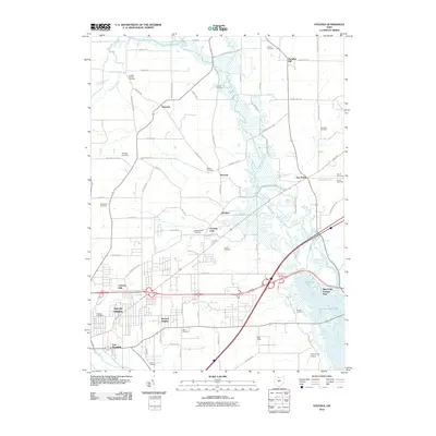
2010 Map of Pavonia
USGS Topo · Published 2010About this map
Charles Mill Lake and the meandering Black Fork Mohican River anchor the eastern landscape of this Richland County region. The map captures a transition from the rural crossroads of Paradise Hill and Epworth in the north to the suburban expansion of East Mansfield and Lincoln Heights in the southwest. A high density of family-named burial grounds, including the Koogle Cemetery, Smeltzer Cemetery, and Pittenger Cemetery, provides a wealth of data for those tracing local lineages. The transportation network is dominated by the modern artery of Interstate 71, which cuts through the heart of the quadrangle near the Camp Mowana grounds and Fleming Falls. Aviation and recreation are well-represented by Gorman Air Airport and the Mansfield Raceway, showing how the land north of the city has evolved into a mix of utility and residential communities.
Find a feature on this map
81 named features on this map. Tap any name to fly to it.
Don’t see what you’re looking for? This feature index may not catch every label — zoom into the map to look around manually.
Map Details
Editions of this 2010 Pavonia Map
This is the sole edition of this map. No revisions or reprints were ever made.
Other maps of this area

1908 · Ashland
USGS Topo · 1:62,500

1912 · Perrysville
USGS Topo · 1:62,500

1915 · Crestline
USGS Topo · 1:62,500

1915 · Perrysville
USGS Topo · 1:62,500

1915 · Shauck
USGS Topo · 1:62,500

1943 · Shauck
USGS Topo · 1:62,500

1943 · Crestline
USGS Topo · 1:62,500

1944 · Perrysville
USGS Topo · 1:62,500

1950 · Marion
USGS Topo · 1:250,000

1960 · Pavonia
USGS Topo · 1:24,000