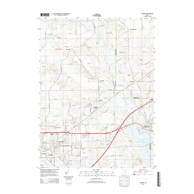
2013 Map of Pavonia
USGS Topo · Published 2013About this map
The Black Fork Mohican River defines much of the eastern geography of this Richland County region, winding south toward the expansive Charles Mill Lake. Along its course, small rural communities like Pavonia and Windsor are surrounded by family-named landmarks and cemeteries, reflecting the deep agricultural and genealogical roots of the area. The terrain is marked by notable features such as Fleming Falls and Sites Lake, while the expanding suburbs of Mansfield push eastward into East Mansfield and Wooster Heights. This 2013 survey provides a detailed view of the infrastructure transition from the residential neighborhoods of Colonial Hills to the rural expanses of Paradise Hill and Epworth. Researchers will find a high density of burial sites throughout the landscape, including the Franklin Church Cem, Imhoff Cem, and Koogle Cem, alongside localized airfields such as the Gorman Airport and D Airways Airport.
Find a feature on this map
102 named features on this map. Tap any name to fly to it.
Don’t see what you’re looking for? This feature index may not catch every label — zoom into the map to look around manually.
Map Details
Editions of this 2013 Pavonia Map
This is the sole edition of this map. No revisions or reprints were ever made.
Other maps of this area

1908 · Ashland
USGS Topo · 1:62,500

1912 · Perrysville
USGS Topo · 1:62,500

1915 · Crestline
USGS Topo · 1:62,500

1915 · Perrysville
USGS Topo · 1:62,500

1915 · Shauck
USGS Topo · 1:62,500

1943 · Shauck
USGS Topo · 1:62,500

1943 · Crestline
USGS Topo · 1:62,500

1944 · Perrysville
USGS Topo · 1:62,500

1950 · Marion
USGS Topo · 1:250,000

1960 · Pavonia
USGS Topo · 1:24,000