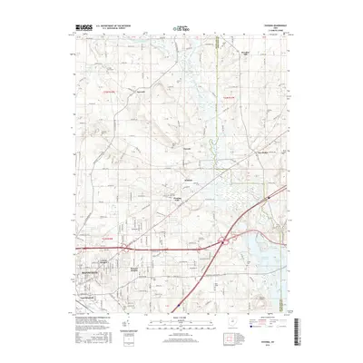
2016 Map of Pavonia
USGS Topo · Published 2016About this map
Charles Mill Lake and the Black Fork Mohican River anchor this central Ohio landscape, where the sprawling outskirts of Mansfield meet the rural reaches of Richland and Ashland counties. The transition from industrial development to agricultural land is marked by small settlements and historic crossroads like Pavonia, Paradise Hill, and Five Points. Genealogical interest is concentrated in numerous family and community burial grounds, including the Smeltzer Cem, Franklin Church Cem, and Pittenger Cem. In the southern portion of the sheet, the map details the infrastructure of Lincoln Heights and Wooster Heights, providing a view of residential growth near Rocky Fork. Aviation and transport are represented by Gorman Airport and Rall Field, while the topography shows the varied drainage of Whetstone Cr and Sites Lake.
Find a feature on this map
71 named features on this map. Tap any name to fly to it.
Don’t see what you’re looking for? This feature index may not catch every label — zoom into the map to look around manually.
Map Details
Editions of this 2016 Pavonia Map
This is the sole edition of this map. No revisions or reprints were ever made.
Other maps of this area

1908 · Ashland
USGS Topo · 1:62,500

1912 · Perrysville
USGS Topo · 1:62,500

1915 · Crestline
USGS Topo · 1:62,500

1915 · Perrysville
USGS Topo · 1:62,500

1915 · Shauck
USGS Topo · 1:62,500

1943 · Shauck
USGS Topo · 1:62,500

1943 · Crestline
USGS Topo · 1:62,500

1944 · Perrysville
USGS Topo · 1:62,500

1950 · Marion
USGS Topo · 1:250,000

1960 · Pavonia
USGS Topo · 1:24,000