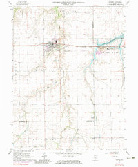
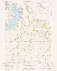
1964 Map of Pawnee
USGS Topo · Published 1983About this map
Pawnee serves as the central hub of this Sangamon County landscape, situated at the junction of the Chicago and Illinois Midland railroad and local rural routes. The map documents an area defined by agricultural steadying and industrial utility, including Claypits south of the town center and a Radio Tower and Substation to the west. To the east, the shoreline of Sangchris Lake is shaped by the South Fork of the Sangamon River, where a large Mine and associated Mine Dump are connected by a long Conveyor system, illustrating the region's extraction economy.
Find a feature on this map
32 named features on this map. Tap any name to fly to it.
Don’t see what you’re looking for? This feature index may not catch every label — zoom into the map to look around manually.
Map Details
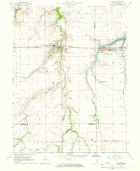
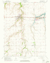
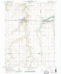
Editions of this 1964 Pawnee Map
4 editions found
Other maps of this area

1922 · Divernon
USGS Topo · 1:62,500

1923 · Taylorville
USGS Topo · 1:62,500

1923 · Raymond
USGS Topo · 1:62,500

1924 · Divernon
USGS Topo · 1:62,500

1925 · Taylorville
USGS Topo · 1:62,500

1925 · Raymond
USGS Topo · 1:62,500

1946 · Nokomis
USGS Topo · 1:62,500

1949 · Nokomis
USGS Topo · 1:62,500

1958 · Decatur
USGS Topo · 1:250,000
1961 · New City
USGS Topo · 1:24,000