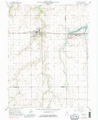
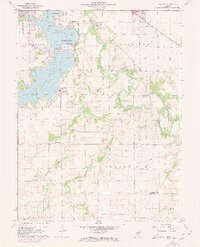
1964 Map of Pawnee
USGS Topo · Published 1983About this map
Pawnee serves as the primary hub of this Central Illinois landscape during the mid-1960s, defined by its position along the Chicago and Illinois Midland railroad. The agricultural character of the region is punctuated by small settlements like Zenobia and Ellis, while local genealogy is rooted in sites such as Horse Creek Cem, Calvary Cem, and the Zenobia Ch. The 1971 photorevisions capture the emergence of Sangchris Lake in the northeast, reflecting a significant shift in the local hydrology of the South Fork.
Find a feature on this map
31 named features on this map. Tap any name to fly to it.
Don’t see what you’re looking for? This feature index may not catch every label — zoom into the map to look around manually.
Map Details
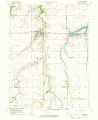
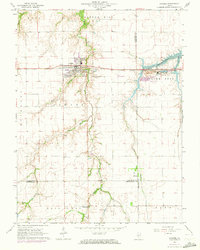
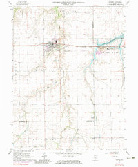
Editions of this 1964 Pawnee Map
4 editions found
Other maps of this area

1922 · Divernon
USGS Topo · 1:62,500

1923 · Taylorville
USGS Topo · 1:62,500

1923 · Raymond
USGS Topo · 1:62,500

1924 · Divernon
USGS Topo · 1:62,500

1925 · Taylorville
USGS Topo · 1:62,500

1925 · Raymond
USGS Topo · 1:62,500

1946 · Nokomis
USGS Topo · 1:62,500

1949 · Nokomis
USGS Topo · 1:62,500

1958 · Decatur
USGS Topo · 1:250,000
1961 · New City
USGS Topo · 1:24,000