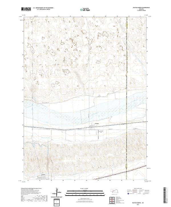
2021 Map of Paxton North
USGS Topo · Published 2021About this map
The irrigated plains of Keith and Lincoln Counties reveal a complex water management system surrounding the North Platte River. This landscape is defined by its agricultural infrastructure, featuring an extensive network of artificial waterways including the Keith Lincoln Canal, Sutherland Canal, and Paxton Canal. These engineering works parallel the river valley, supporting the local economy and the small settlements that grew alongside these vital water sources.
Find a feature on this map
26 named features on this map. Tap any name to fly to it.
Don’t see what you’re looking for? This feature index may not catch every label — zoom into the map to look around manually.
Map Details
Editions of this 2021 Paxton North Map
This is the sole edition of this map. No revisions or reprints were ever made.
Other maps of this area

1898 · Paxton
USGS Topo · 1:125,000

1901 · Paxton
USGS Topo · 1:125,000

1954 · North Platte
USGS Topo · 1:250,000

1956 · North Platte
USGS Topo · 1:250,000

1957 · North Platte
USGS Topo · 1:250,000

1967 · North Platte
USGS Topo · 1:250,000

1971 · Sutherland Reservoir West
USGS Topo · 1:24,000
1971 · Paxton South
USGS Topo · 1:24,000
1971 · Nevens
USGS Topo · 1:24,000
1971 · Paxton North
USGS Topo · 1:24,000