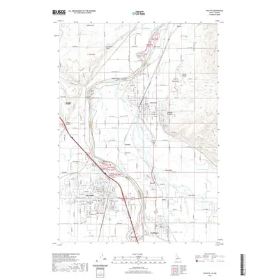
2020 Map of Payette
USGS Topo · Published 2020About this map
The Snake River serves as the winding border between Oregon and Idaho, defining the geography of this agricultural and transit hub. On the Idaho side, Payette is anchored by the Payette County Courthouse and its residential neighborhoods, while Ontario sits across the water in Oregon. The complex river system is marked by numerous landforms including Johnson Island, Welch Island, and Duncan Island, alongside a dense network of irrigation infrastructure like the Owyhee Canal, Washoe Ditch, and Lower Payette Ditch.
Find a feature on this map
202 named features on this map. Tap any name to fly to it.
Don’t see what you’re looking for? This feature index may not catch every label — zoom into the map to look around manually.
Map Details
Editions of this 2020 Payette Map
This is the sole edition of this map. No revisions or reprints were ever made.
Other maps of this area

1897 · Weiser
USGS Topo · 1:125,000

1898 · Nampa
USGS Topo · 1:125,000

1906 · Mitchell Butte
USGS Topo · 1:125,000

1951 · Moores Hollow
USGS Topo · 1:24,000

1951 · Malheur Butte
USGS Topo · 1:24,000

1951 · Moores Hollow
USGS Topo · 1:62,500

1951 · Payette
USGS Topo · 1:24,000

1951 · Weiser South
USGS Topo · 1:24,000

1952 · Weiser Cove
USGS Topo · 1:24,000

1952 · Birding Island
USGS Topo · 1:24,000