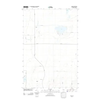
2013 Map of Payne
USGS Topo · Published 2013About this map
The Payne settlement area in Saint Louis County is defined by a landscape of glacial lakes and slow-moving waterways. This 2013 survey illustrates the sparse residential patterns of northern Minnesota, where small communities like Baden are connected by a network of rural routes such as Co Hwy-7 and Lake Nichols Rd. The Little Whiteface River meanders through the central terrain, feeding into a complex system of wetlands and small water bodies. Dominating the eastern portion of the map is Nichols Lake, surrounded by small access roads like S Shore Dr and Cabin Rd that suggest seasonal or recreational use. To the south, Maple Leaf Lake and Aerie Lake Rd mark the transition toward more densely forested sections of the quadrangle. The map is a precise record of the road names and hydrography that shape this quiet corner of the Northwoods.
Find a feature on this map
23 named features on this map. Tap any name to fly to it.
Don’t see what you’re looking for? This feature index may not catch every label — zoom into the map to look around manually.
Map Details
Editions of this 2013 Payne Map
This is the sole edition of this map. No revisions or reprints were ever made.
Other maps of this area

1953 · Canyon
USGS Topo · 1:24,000

1953 · Payne
USGS Topo · 1:24,000

1953 · Alborn
USGS Topo · 1:24,000

1953 · Independence
USGS Topo · 1:24,000

1953 · Brookston NW
USGS Topo · 1:24,000

1953 · Duluth
USGS Topo · 1:250,000

1954 · Hibbing
USGS Topo · 1:250,000

1956 · Cotton
USGS Topo · 1:24,000

1957 · Hibbing
USGS Topo · 1:250,000

1958 · Hibbing
USGS Topo · 1:250,000