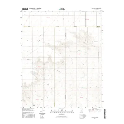
2017 Map of Peach Canyon
USGS Topo · Published 2017About this map
Peach Canyon and the surrounding drainage networks of Sand Canyon and Cottonwood Canyon dominate this high-plains landscape where three counties—Quay, De Baca, and Roosevelt—converge. The terrain is defined by the sharp transition from the level flats above Candy Mesa Rd down into the complex arroyo systems that feed Sand Cr. This 2017 survey reveals a sparse, high-desert landscape managed through a grid of rural roads and isolated water sources. Reliable water remains the primary driver of activity in this arid region, evidenced by the location of Bull Tank Spring and Peach Canyon Spring. The naming of local thoroughfares like Silver Rd and Bob White Rd suggests a landscape dedicated to ranching and local land ownership at the meeting point of these New Mexico county boundaries.
Find a feature on this map
29 named features on this map. Tap any name to fly to it.
Don’t see what you’re looking for? This feature index may not catch every label — zoom into the map to look around manually.
Map Details
Editions of this 2017 Peach Canyon Map
This is the sole edition of this map. No revisions or reprints were ever made.
Other maps of this area

1954 · Fort Sumner
USGS Topo · 1:250,000

1954 · Clovis
USGS Topo · 1:250,000

1958 · Fort Sumner
USGS Topo · 1:250,000

1958 · Clovis
USGS Topo · 1:250,000

1968 · Hassell
USGS Topo · 1:24,000

1968 · Candy Mesa
USGS Topo · 1:24,000

1968 · Taiban
USGS Topo · 1:24,000

1973 · Tolar
USGS Topo · 1:24,000

1973 · Krider
USGS Topo · 1:24,000

1973 · House
USGS Topo · 1:24,000