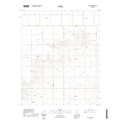
2020 Map of Peach Canyon
USGS Topo · Published 2020About this map
Peach Canyon and its surrounding drainages define this high-plains landscape where the borders of Quay, De Baca, and Roosevelt Counties meet. The terrain is characterized by a series of deep cuts through the plateau, most notably Peach Canyon itself and the neighboring Sand Canyon, which both feed into the larger hydrological network of the area. Grounded in the arid geography of eastern New Mexico, vital water sources such as Peach Canyon Spring and Bull Tank Spring are identified, marking the locations of essential natural resources in a region otherwise dominated by dry creek beds like Sand Cr.
Find a feature on this map
31 named features on this map. Tap any name to fly to it.
Don’t see what you’re looking for? This feature index may not catch every label — zoom into the map to look around manually.
Map Details
Editions of this 2020 Peach Canyon Map
This is the sole edition of this map. No revisions or reprints were ever made.
Other maps of this area

1954 · Fort Sumner
USGS Topo · 1:250,000

1954 · Clovis
USGS Topo · 1:250,000

1958 · Fort Sumner
USGS Topo · 1:250,000

1958 · Clovis
USGS Topo · 1:250,000

1968 · Hassell
USGS Topo · 1:24,000

1968 · Candy Mesa
USGS Topo · 1:24,000

1968 · Taiban
USGS Topo · 1:24,000

1973 · Tolar
USGS Topo · 1:24,000

1973 · Krider
USGS Topo · 1:24,000

1973 · House
USGS Topo · 1:24,000