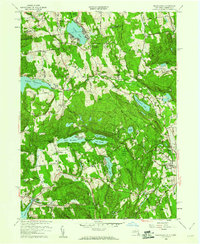
1958 Map of Peach Lake
USGS Topo · Published 1960About this map
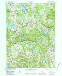
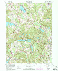
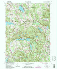
The New York and Connecticut border divides this 1958 survey, where the rolling uplands of North Salem and Lewisboro meet the western edge of Ridgefield. This landscape is defined by its significant water bodies, including the Titicus Reservoir and Cross River Res, alongside smaller natural features like Mamanasco Lake and Peach Lake. The road network is well-established, with named routes like Dingle Ridge Road and Hardscrabble Road connecting historic settlement clusters at Salem Center and South Salem.
Find a feature on this map
68 named features on this map. Tap any name to fly to it.
Don’t see what you’re looking for? This feature index may not catch every label — zoom into the map to look around manually.
Map Details
Editions of this 1958 Peach Lake Map
7 editions found
Other maps of this area

1892 · Stamford
USGS Topo · 1:62,500

1892 · Danbury
USGS Topo · 1:62,500

1892 · Norwalk
USGS Topo · 1:62,500

1892 · Carmel
USGS Topo · 1:62,500

1893 · Carmel
USGS Topo · 1:62,500

1893 · Stamford
USGS Topo · 1:62,500

1893 · Norwalk
USGS Topo · 1:62,500

1894 · Carmel
USGS Topo · 1:62,500

1899 · Stamford
USGS Topo · 1:62,500

1915 · Danbury
USGS Topo · 1:62,500