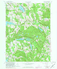
1958 Map of Peach Lake
USGS Topo · Published 1981About this map
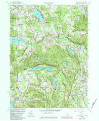
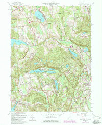
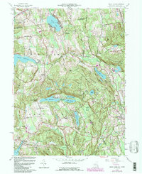
The Westchester and Putnam county borderlands meet the Connecticut state line in this mid-century survey, showcasing a landscape defined by significant water management and glacial terrain. The Titicus Reservoir dominates the western portion of the map, while to the south, a chain of natural lakes including Lake Waccabuc, Lake Oscaleta, and Lake Rippowam are connected by the Waccabuc River. These water bodies are flanked by prominent ridges such as Scott Ridge and Turkey Hill, creating the distinct valley settlements of Salem Center and North Salem.
Find a feature on this map
79 named features on this map. Tap any name to fly to it.
Don’t see what you’re looking for? This feature index may not catch every label — zoom into the map to look around manually.
Map Details
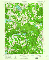
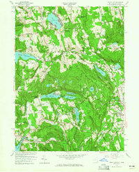
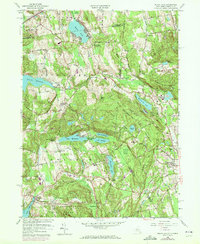
Editions of this 1958 Peach Lake Map
7 editions found
Other maps of this area

1892 · Stamford
USGS Topo · 1:62,500

1892 · Danbury
USGS Topo · 1:62,500

1892 · Norwalk
USGS Topo · 1:62,500

1892 · Carmel
USGS Topo · 1:62,500

1893 · Carmel
USGS Topo · 1:62,500

1893 · Stamford
USGS Topo · 1:62,500

1893 · Norwalk
USGS Topo · 1:62,500

1894 · Carmel
USGS Topo · 1:62,500

1899 · Stamford
USGS Topo · 1:62,500

1915 · Danbury
USGS Topo · 1:62,500