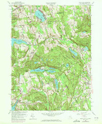
1958 Map of Peach Lake
USGS Topo · Published 1972About this map
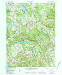
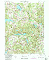
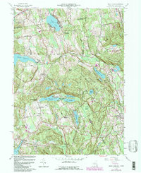
Peach Lake sits at the northern edge of this landscape, its shores developed with a high density of structures reflecting the area's mid-century growth as a residential and seasonal retreat. The region is characterized by a series of parallel ridges, including Peach Lake Ridge and Scott Ridge, which channel the various lake systems that define the border between New York and Connecticut. Cultural landmarks such as the Peach Lake Meetinghouse and St Johns Ch in North Salem anchor the older settlement patterns. Further south, the map reveals a transition into the more protected lands of the Ward Pound Ridge Reservation and the clusters of Twin Lakes Village. Local genealogy is well-represented through family-named sites like June Cem and Mead Cem, alongside historic school locations like the Township Sch.
Find a feature on this map
58 named features on this map. Tap any name to fly to it.
Don’t see what you’re looking for? This feature index may not catch every label — zoom into the map to look around manually.
Map Details
Editions of this 1958 Peach Lake Map
7 editions found
Other maps of this area

1892 · Stamford
USGS Topo · 1:62,500

1892 · Danbury
USGS Topo · 1:62,500

1892 · Norwalk
USGS Topo · 1:62,500

1892 · Carmel
USGS Topo · 1:62,500

1893 · Carmel
USGS Topo · 1:62,500

1893 · Stamford
USGS Topo · 1:62,500

1893 · Norwalk
USGS Topo · 1:62,500

1894 · Carmel
USGS Topo · 1:62,500

1899 · Stamford
USGS Topo · 1:62,500

1915 · Danbury
USGS Topo · 1:62,500