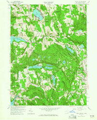
1958 Map of Peach Lake
USGS Topo · Published 1965About this map
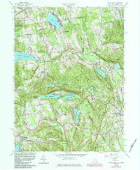
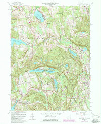
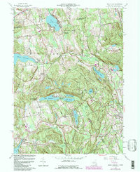
Peach Lake and its surrounding countryside define this mid-century portrait of the Westchester-Fairfield borderlands. The landscape is a network of glacial lakes and reservoirs, including the large Titicus Reservoir and the interconnected chain of Lake Waccabuc, Lake Oscaleta, and Lake Rippowam. Local community life is documented through established landmarks such as the Peach Lake Meetinghouse, St Johns Ch, and the Mead Memorial Chapel. The map captures a moment when traditional rural settlements like North Salem, Waccabuc, and South Salem were beginning to see the influence of residential growth, evidenced by Twin Lakes Village.
Find a feature on this map
62 named features on this map. Tap any name to fly to it.
Don’t see what you’re looking for? This feature index may not catch every label — zoom into the map to look around manually.
Map Details
Editions of this 1958 Peach Lake Map
7 editions found
Other maps of this area

1892 · Stamford
USGS Topo · 1:62,500

1892 · Danbury
USGS Topo · 1:62,500

1892 · Norwalk
USGS Topo · 1:62,500

1892 · Carmel
USGS Topo · 1:62,500

1893 · Carmel
USGS Topo · 1:62,500

1893 · Stamford
USGS Topo · 1:62,500

1893 · Norwalk
USGS Topo · 1:62,500

1894 · Carmel
USGS Topo · 1:62,500

1899 · Stamford
USGS Topo · 1:62,500

1915 · Danbury
USGS Topo · 1:62,500