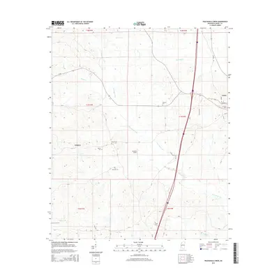
2015 Map of Peachahala Creek
USGS Topo · Published 2015About this map
Vaiden and Wiltshire anchor this Carroll County landscape, where small-town streets like Elm St and Mulberry St meet the sprawling drainage networks of the Mississippi hill country. The terrain is deeply inscribed with family and community history, evidenced by a high density of rural burial grounds including Shongola Cem, Hopewell Cem, and Martin Grove Cem. These sites, along with the Midway Cem and McEachern Cem, suggest long-standing genealogical roots tied to the surrounding acreage.
Find a feature on this map
23 named features on this map. Tap any name to fly to it.
Don’t see what you’re looking for? This feature index may not catch every label — zoom into the map to look around manually.
Map Details
Editions of this 2015 Peachahala Creek Map
This is the sole edition of this map. No revisions or reprints were ever made.
Other maps of this area

1953 · West Point
USGS Topo · 1:250,000

1958 · West Point
USGS Topo · 1:250,000

1963 · West Point
USGS Topo · 1:250,000

1964 · West
USGS Topo · 1:24,000
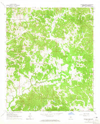
1964 · Bowling Green
USGS Topo · 1:24,000

1964 · Hesterville
USGS Topo · 1:24,000

1966 · Winona
USGS Topo · 1:24,000

1966 · Kosciusko
USGS Topo · 1:62,500
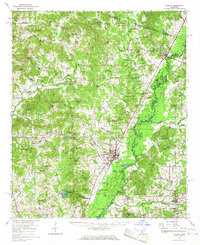
1966 · Durant
USGS Topo · 1:62,500
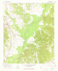
1966 · Vaiden
USGS Topo · 1:24,000