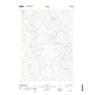
2021 Map of Peacham
USGS Topo · Published 2021About this map
Peacham serves as the focal point of this Vermont landscape, surrounded by a constellation of smaller settlements including East Peacham, South Peacham, and West Barnet. The terrain is defined by prominent peaks like Macks Mtn and Lookout Mtn, while the lowlands are marked by significant water features such as Harvey Lake and the ecologically distinct Peacham Bog. Several family and town cemeteries, including Peacham East Cem and the Walter Harvey Cem, provide critical touchpoints for genealogical research in Caledonia County.
Find a feature on this map
99 named features on this map. Tap any name to fly to it.
Don’t see what you’re looking for? This feature index may not catch every label — zoom into the map to look around manually.
Map Details
Editions of this 2021 Peacham Map
This is the sole edition of this map. No revisions or reprints were ever made.
Other maps of this area

1931 · Woodsville
USGS Topo · 1:48,000

1935 · Woodsville
USGS Topo · 1:62,500

1938 · St. Johnsbury
USGS Topo · 1:48,000

1939 · Plainfield
USGS Topo · 1:48,000

1940 · Plainfield
USGS Topo · 1:62,500

1941 · Woodsville
USGS Topo · 1:62,500

1943 · Plainfield
USGS Topo · 1:62,500

1943 · St. Johnsbury
USGS Topo · 1:62,500

1947 · Corinth
USGS Topo · 1:62,500

1948 · East Barre
USGS Topo · 1:62,500