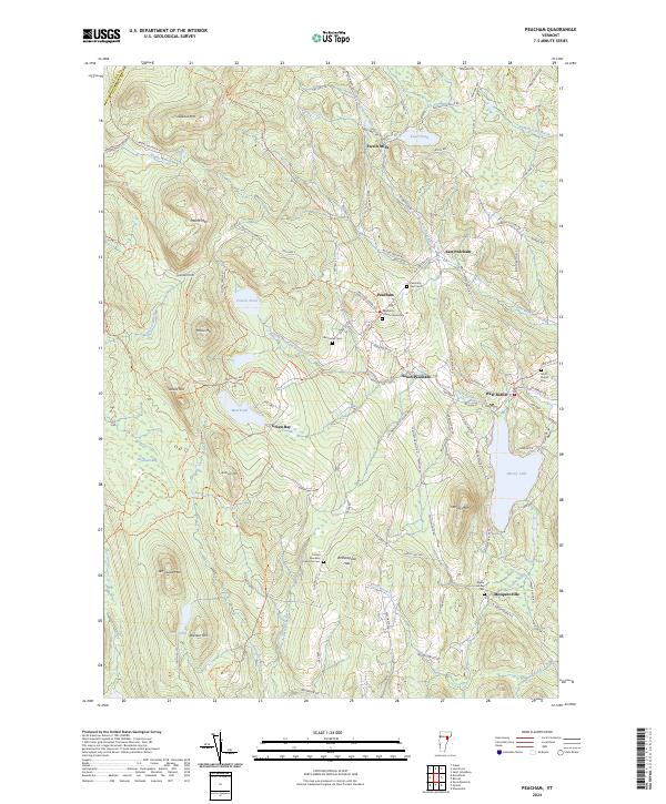
2024 Map of Peacham
USGS Topo · Published 2024About this map
Peacham and its surrounding hamlets of South Peacham, East Peacham, and Ewells Mills define this pocket of Caledonia County. The landscape is characterized by its high concentration of small family and community burial grounds, including the Peacham Village Cemetery and the Groton - Peacham Town Line Cem, which provide essential points of reference for genealogical research. The terrain is deeply carved by water, with Harvey Lake and Ewell Pond anchoring the eastern side, while the west is dominated by the wild expanse of Peacham Bog and the protected lands of Groton State Forest.
Find a feature on this map
105 named features on this map. Tap any name to fly to it.
Don’t see what you’re looking for? This feature index may not catch every label — zoom into the map to look around manually.
Map Details
Editions of this 2024 Peacham Map
This is the sole edition of this map. No revisions or reprints were ever made.
Other maps of this area

1931 · Woodsville
USGS Topo · 1:48,000

1935 · Woodsville
USGS Topo · 1:62,500

1938 · St. Johnsbury
USGS Topo · 1:48,000

1939 · Plainfield
USGS Topo · 1:48,000

1940 · Plainfield
USGS Topo · 1:62,500

1941 · Woodsville
USGS Topo · 1:62,500

1943 · Plainfield
USGS Topo · 1:62,500

1943 · St. Johnsbury
USGS Topo · 1:62,500

1947 · Corinth
USGS Topo · 1:62,500

1948 · East Barre
USGS Topo · 1:62,500