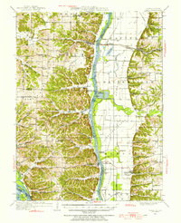
1950 Map of Pearl
USGS Topo · Published 1956About this map
The Illinois River serves as the central artery for this mid-century landscape, carving a wide valley between Pike, Greene, and Calhoun counties. Settled communities like Pearl and Hillview are situated along the Chicago and Alton railroad line, while the river's eastern banks are characterized by extensive drainage infrastructure, including the Fairbanks Pumping Sta and several others designed to manage the fertile bottomlands of Bluffdale and Walkerville.
Find a feature on this map
103 named features on this map. Tap any name to fly to it.
Don’t see what you’re looking for? This feature index may not catch every label — zoom into the map to look around manually.
Map Details
Editions of this 1950 Pearl Map
This is the sole edition of this map. No revisions or reprints were ever made.
Other maps of this area
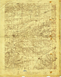
1924 · Winchester
USGS Topo · 1:48,000
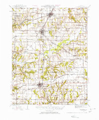
1924 · Roodhouse
USGS Topo · 1:62,500
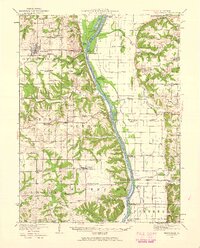
1924 · Griggsville
USGS Topo · 1:62,500
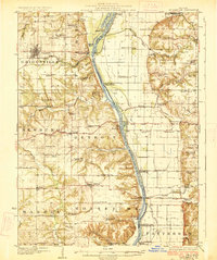
1926 · Griggsville
USGS Topo · 1:62,500
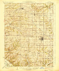
1926 · Pittsfield
USGS Topo · 1:62,500
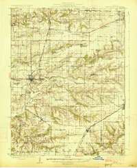
1926 · Winchester
USGS Topo · 1:62,500
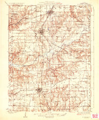
1926 · Roodhouse
USGS Topo · 1:62,500
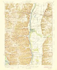
1930 · Pearl
USGS Topo · 1:62,500
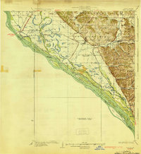
1930 · Nebo
USGS Topo · 1:62,500
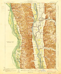
1930 · Hardin
USGS Topo · 1:62,500