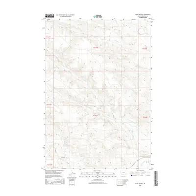
2017 Map of Pearl School
USGS Topo · Published 2017About this map
Pearl School serves as a lone institutional anchor in this rural corner of Big Horn County, situated near the intersection of Youngs Creek Rd and Co Rd 398. This high-plains landscape is defined by an intricate network of drainage and irrigation, essential for ranching operations in eastern Montana. Tributaries such as Youngs Cr and Squirrel Cr carve through the terrain, while man-made water management systems like Powers Brothers Ditch, Cormack Ditch, and Gladewater Ditch illustrate the historical effort to distribute water across the varied topography of Township 9 South. Local infrastructure is sparse, primarily consisting of unpaved ranch roads such as CX Ranch Rd that follow the contours of the coulees and creek beds.
Find a feature on this map
25 named features on this map. Tap any name to fly to it.
Don’t see what you’re looking for? This feature index may not catch every label — zoom into the map to look around manually.
Map Details
Editions of this 2017 Pearl School Map
This is the sole edition of this map. No revisions or reprints were ever made.
Other maps of this area

1894 · Rosebud
USGS Topo · 1:125,000

1895 · Dayton
USGS Topo · 1:125,000

1901 · Rosebud
USGS Topo · 1:125,000

1901 · Dayton
USGS Topo · 1:125,000

1909 · Sheridan
USGS Topo · 1:125,000

1911 · Sheridan
USGS Topo · 1:125,000

1954 · Hardin
USGS Topo · 1:250,000

1955 · Sheridan
USGS Topo · 1:250,000

1957 · Hardin
USGS Topo · 1:250,000

1958 · Hardin
USGS Topo · 1:250,000