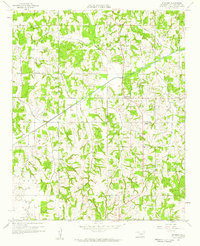
1958 Map of Pearson
USGS Topo · Published 1959About this map
The Oklahoma oil landscape of the late 1950s is deeply etched into this survey of Pottawatomie County. Numerous oil wells and a Pumping Station punctuate the terrain between the small settlements of Romulus, Anderson, and Pearson. The survey illustrates a community organized around rural landmarks, featuring both the Anderson Sch and Cloverdale Sch, alongside spiritual and memorial sites like Oakgrove Ch, Romulus Cem, and Avoca Cem. The physical geography is defined by a dense network of watercourses, including Salt Creek, Opossum Creek, and Delaware Creek, which carve through the townships. This document is particularly valuable for its depiction of the mid-century petroleum industry integrated with established farming communities, showing the proximity of industrial infrastructure to schools and family homes in Avoca and the surrounding townships.
Find a feature on this map
24 named features on this map. Tap any name to fly to it.
Don’t see what you’re looking for? This feature index may not catch every label — zoom into the map to look around manually.
Map Details
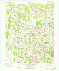
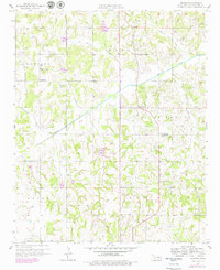
Editions of this 1958 Pearson Map
3 editions found
Other maps of this area

1896 · Seminole and Prague
USGS Topo · 1:125,000

1898 · Purcell
USGS Topo · 1:125,000

1898 · Pauls Valley
USGS Topo · 1:125,000

1901 · Stonewall
USGS Topo · 1:125,000

1902 · Pauls Valley
USGS Topo · 1:125,000

1907 · Maud
USGS Topo · 1:62,500

1908 · Maud
USGS Topo · 1:62,500

1910 · McComb
USGS Topo · 1:62,500

1954 · Oklahoma City
USGS Topo · 1:250,000

1957 · Ardmore
USGS Topo · 1:250,000