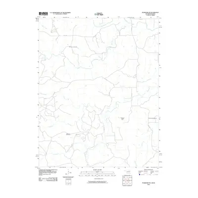
2010 Map of Pearsonia NE
USGS Topo · Published 2010About this map
The Caney River winds through this rural landscape along the Oklahoma-Kansas border, defining a territory shaped by intricate drainage systems and agricultural infrastructure. In this 2010 survey of Chautauqua County, the hydrology is dominated by numerous tributaries including Buck Creek, Pond Creek, and Buzzard Creek. These waterways are managed by several numbered impoundments such as Oknoname 113116 Dam and Oknoname 037046 Dam, reflecting the region's reliance on water management for ranching or local agriculture.
Find a feature on this map
19 named features on this map. Tap any name to fly to it.
Don’t see what you’re looking for? This feature index may not catch every label — zoom into the map to look around manually.
Map Details
Editions of this 2010 Pearsonia NE Map
This is the sole edition of this map. No revisions or reprints were ever made.
Other maps of this area

1885 · Sedan
USGS Topo · 1:125,000

1889 · Sedan
USGS Topo · 1:125,000

1909 · Pawhuska
USGS Topo · 1:125,000

1910 · Pawhuska
USGS Topo · 1:125,000

1955 · Wichita
USGS Topo · 1:250,000

1955 · Enid
USGS Topo · 1:250,000

1958 · Enid
USGS Topo · 1:250,000

1958 · Wichita
USGS Topo · 1:250,000

1960 · Nanos
USGS Topo · 1:24,000

1960 · Herd
USGS Topo · 1:24,000