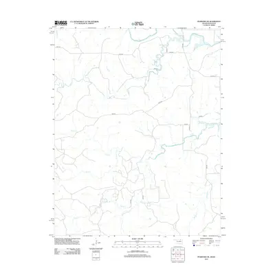
2012 Map of Pearsonia NE
USGS Topo · Published 2012About this map
Caney River meanders across the northern reaches of this rural landscape where Oklahoma meets Kansas. The terrain is defined by a dense network of drainage systems, including Buck Cr and Buzzard Cr, which carve through the open country. This 2012 survey illustrates a sparse settlement pattern dominated by a grid of county roads such as Co RD-4910 and n3760 RD. The southern portion of the quadrangle is notably more complex, featuring the convergence of Pond Cr, S Fork Pond Cr, and Spring Cr. The absence of large town centers emphasizes the agricultural and ranching character of the Chautauqua County borderlands, where the land use is dictated by the subtle elevation changes of the N Fox Cr and Dry Cr basins.
Find a feature on this map
21 named features on this map. Tap any name to fly to it.
Don’t see what you’re looking for? This feature index may not catch every label — zoom into the map to look around manually.
Map Details
Editions of this 2012 Pearsonia NE Map
This is the sole edition of this map. No revisions or reprints were ever made.
Other maps of this area

1885 · Sedan
USGS Topo · 1:125,000

1889 · Sedan
USGS Topo · 1:125,000

1909 · Pawhuska
USGS Topo · 1:125,000

1910 · Pawhuska
USGS Topo · 1:125,000

1955 · Wichita
USGS Topo · 1:250,000

1955 · Enid
USGS Topo · 1:250,000

1958 · Enid
USGS Topo · 1:250,000

1958 · Wichita
USGS Topo · 1:250,000

1960 · Nanos
USGS Topo · 1:24,000

1960 · Herd
USGS Topo · 1:24,000