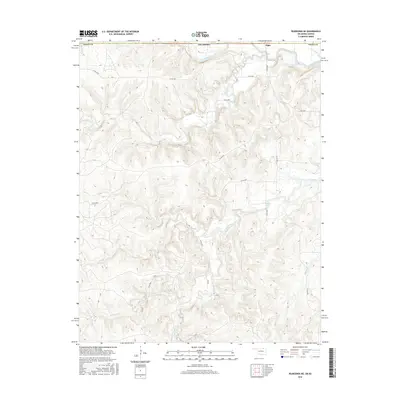
2016 Map of Pearsonia NE
USGS Topo · Published 2016About this map
Elgin sits at the northern edge of this landscape, where the Caney River crosses the border between Kansas and Oklahoma. The terrain is defined by a dense network of drainage systems, including the Buck Creek valley and the numerous tributaries that feed into Hulah Lake. To the south, the topography becomes increasingly intricate as branches like S Fork Pond Cr and Spring Creek carve through the upland. This 2016 survey illustrates a sparsely populated ranching or agricultural region characterized by a high-density system of county roads, such as Co RD 4930 and CR 4851, which provide access to the various forks and creeks. The map offers a clear view of the water drainage patterns in Osage County before they converge toward larger downstream reservoirs.
Find a feature on this map
22 named features on this map. Tap any name to fly to it.
Don’t see what you’re looking for? This feature index may not catch every label — zoom into the map to look around manually.
Map Details
Editions of this 2016 Pearsonia NE Map
This is the sole edition of this map. No revisions or reprints were ever made.
Other maps of this area

1885 · Sedan
USGS Topo · 1:125,000

1889 · Sedan
USGS Topo · 1:125,000

1909 · Pawhuska
USGS Topo · 1:125,000

1910 · Pawhuska
USGS Topo · 1:125,000

1955 · Wichita
USGS Topo · 1:250,000

1955 · Enid
USGS Topo · 1:250,000

1958 · Enid
USGS Topo · 1:250,000

1958 · Wichita
USGS Topo · 1:250,000

1960 · Nanos
USGS Topo · 1:24,000

1960 · Herd
USGS Topo · 1:24,000