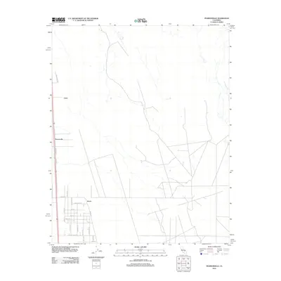
2012 Map of Pearsonville
USGS Topo · Published 2012About this map
Pearsonville and its surrounding High Desert landscape are documented here during a period of modern rural development in Inyo County. The map details a geometric grid of residential streets south of the settlement of Brown, where thoroughfares like Avenida Del Sol, Sierra Vista St, and Coyote Trail Ave illustrate the planned layout of this arid region. To the north, the small community of Linnie sits along the primary north-south transit corridor, while the winding 9 Mile Canyon Rd provides a critical connection toward the rising western elevations. The landscape is defined by its drainage patterns and a clear transition from the established settlements of the south to the more open, sparse terrain of the northern reaches.
Find a feature on this map
22 named features on this map. Tap any name to fly to it.
Don’t see what you’re looking for? This feature index may not catch every label — zoom into the map to look around manually.
Map Details
Editions of this 2012 Pearsonville Map
This is the sole edition of this map. No revisions or reprints were ever made.
Other maps of this area

1915 · Searles Lake
USGS Topo · 1:250,000

1943 · Inyokern
USGS Topo · 1:62,500

1947 · Trona
USGS Topo · 1:250,000

1948 · Trona
USGS Topo · 1:250,000

1953 · Mountain Springs Canyon
USGS Topo · 1:62,500

1953 · Ridgecrest
USGS Topo · 1:62,500

1953 · Trona
USGS Topo · 1:250,000

1954 · Little Lake
USGS Topo · 1:62,500

1957 · Trona
USGS Topo · 1:250,000

1960 · Trona
USGS Topo · 1:250,000