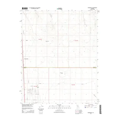
2015 Map of Pearsonville
USGS Topo · Published 2015About this map
Pearsonville and Brown sit at the transition between the Mojave Desert and the Indian Wells Valley, marking a landscape defined by desert crossroads and rural development. The survey illustrates a grid of residential and local access roads that characterize these small high-desert communities, including Rodecker Ave, Buzzard Gulch Ave, and Yokut Ave. These streets reflect a period of habitation where the desert floor is carved into specific tracts, while the northern section remains largely dominated by the open terrain around Linnie.
Find a feature on this map
26 named features on this map. Tap any name to fly to it.
Don’t see what you’re looking for? This feature index may not catch every label — zoom into the map to look around manually.
Map Details
Editions of this 2015 Pearsonville Map
This is the sole edition of this map. No revisions or reprints were ever made.
Other maps of this area

1915 · Searles Lake
USGS Topo · 1:250,000

1943 · Inyokern
USGS Topo · 1:62,500

1947 · Trona
USGS Topo · 1:250,000

1948 · Trona
USGS Topo · 1:250,000

1953 · Mountain Springs Canyon
USGS Topo · 1:62,500

1953 · Ridgecrest
USGS Topo · 1:62,500

1953 · Trona
USGS Topo · 1:250,000

1954 · Little Lake
USGS Topo · 1:62,500

1957 · Trona
USGS Topo · 1:250,000

1960 · Trona
USGS Topo · 1:250,000