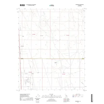
2018 Map of Pearsonville
USGS Topo · Published 2018About this map
Pearsonville and the small settlement of Linnie sit at the transition between the northern Mojave Desert and the Indian Wells Valley, capturing a detailed layout of this high-desert community. The map illustrates a significant boundary where the Inyo Co Kern Co line separates northern settlements from the town of Brown to the south. This area is characterized by a grid of local roads and avenues, such as Bull Run St and Coyote Trail Ave, which provide access to residential tracts south of the county line. The western edge is defined by significant access routes like Nine Mile Canyon Rd and Pearson Rd, while the eastern portion remains open desert terrain. The detailed road network in the southern section suggests localized residential growth and land division within the valley during the early twenty-first century.
Find a feature on this map
27 named features on this map. Tap any name to fly to it.
Don’t see what you’re looking for? This feature index may not catch every label — zoom into the map to look around manually.
Map Details
Editions of this 2018 Pearsonville Map
This is the sole edition of this map. No revisions or reprints were ever made.
Other maps of this area

1915 · Searles Lake
USGS Topo · 1:250,000

1943 · Inyokern
USGS Topo · 1:62,500

1947 · Trona
USGS Topo · 1:250,000

1948 · Trona
USGS Topo · 1:250,000

1953 · Mountain Springs Canyon
USGS Topo · 1:62,500

1953 · Ridgecrest
USGS Topo · 1:62,500

1953 · Trona
USGS Topo · 1:250,000

1954 · Little Lake
USGS Topo · 1:62,500

1957 · Trona
USGS Topo · 1:250,000

1960 · Trona
USGS Topo · 1:250,000