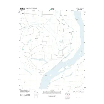
2011 Map of Pecan Point
USGS Topo · Published 2011About this map
Pecan Point and the surrounding river bottomlands of Mississippi County occupy a complex landscape of chutes and bars along the Mississippi River. This reach of the river is defined by large island masses like Island Number Thirty-seven and Brandywine Island, which are protected from the shifting current by engineered structures including the Pecan Point-Dean Island Dikes and Densford Dikes. The settlement pattern reflects the agricultural and river-based economy of the early 21st century, with small communities like Corona and Black Cat connected by rural routes such as Corona Rd.
Find a feature on this map
46 named features on this map. Tap any name to fly to it.
Don’t see what you’re looking for? This feature index may not catch every label — zoom into the map to look around manually.
Map Details
Editions of this 2011 Pecan Point Map
This is the sole edition of this map. No revisions or reprints were ever made.
Other maps of this area

1931 · Jericho
USGS Topo · 1:62,500

1939 · Jericho
USGS Topo · 1:62,500

1939 · Evadale
USGS Topo · 1:62,500

1942 · Millington
USGS Topo · 1:62,500

1952 · Jericho
USGS Topo · 1:62,500

1953 · Memphis
USGS Topo · 1:250,000

1956 · Evadale
USGS Topo · 1:62,500

1956 · Memphis
USGS Topo · 1:250,000

1956 · Blytheville
USGS Topo · 1:250,000

1959 · Blytheville
USGS Topo · 1:250,000