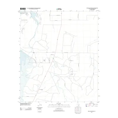
2013 Map of Pecan Station
USGS Topo · Published 2013About this map
Twin Buttes Reservoir and Lake Nasworthy dominate the western landscape of this Tom Green County region just south of San Angelo. The 2013 landscape is characterized by a mix of water management, aviation infrastructure, and petroleum extraction. The San Angelo Regional Airport sits at the northern edge, while smaller landing strips like Reece Field Airport and Keystone Ranch Airport serve the surrounding rural properties. The settlement of Pecan Station serves as a central point for the local community, situated near the Pecan Station Oil Field. The terrain is drained by several waterways, including Pecan Cr, Ninemile Cr, and the S Concho River. Roads such as S Fairview School Rd and Door Key Rd provide a look into the historical property divisions and the local ranching-based economy of the early twenty-first century.
Find a feature on this map
37 named features on this map. Tap any name to fly to it.
Don’t see what you’re looking for? This feature index may not catch every label — zoom into the map to look around manually.
Map Details
Editions of this 2013 Pecan Station Map
This is the sole edition of this map. No revisions or reprints were ever made.
Other maps of this area

1892 · San Angelo
USGS Topo · 1:125,000

1895 · Sherwood
USGS Topo · 1:125,000

1924 · San Angelo 2-c
USGS Topo · 1:48,000

1924 · Sherwood 1-d
USGS Topo · 1:48,000

1924 · San Angelo 2-b
USGS Topo · 1:48,000

1924 · Sherwood 1-a
USGS Topo · 1:48,000

1928 · Wall
USGS Topo · 1:62,500

1928 · Tankersly
USGS Topo · 1:62,500

1954 · San Angelo
USGS Topo · 1:250,000

1957 · Twin Buttes
USGS Topo · 1:24,000