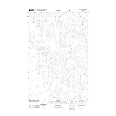
2011 Map of Peck Lake
USGS Topo · Published 2011About this map
The Jim Creek Lookout Tower stands as a prominent sentinel over a drainage system defined by the Swan River and its complex network of mountain tributaries. This 2011 survey of Missoula County illustrates a landscape heavily utilized for forest management, where naming conventions follow the primary watercourses of Jim Creek, Cold Creek, and Elk Creek. Smaller alpine bodies like Peck Lake and Jim Lake dot the higher elevations, connected by a specialized infrastructure of forest routes including Salmon Prairie Rd and Peck Lake Rd.
Find a feature on this map
21 named features on this map. Tap any name to fly to it.
Don’t see what you’re looking for? This feature index may not catch every label — zoom into the map to look around manually.
Map Details
Editions of this 2011 Peck Lake Map
This is the sole edition of this map. No revisions or reprints were ever made.
Other maps of this area

1921 · Elbow Lake
USGS Topo · 1:125,000

1955 · Choteau
USGS Topo · 1:250,000

1957 · Choteau
USGS Topo · 1:250,000

1958 · Choteau
USGS Topo · 1:250,000

1962 · Choteau
USGS Topo · 1:250,000

1965 · Peck Lake
USGS Topo · 1:24,000

1965 · Condon
USGS Topo · 1:24,000

1965 · Swan Peak
USGS Topo · 1:24,000
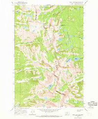
1965 · Piper-Crow Pass
USGS Topo · 1:24,000
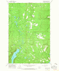
1965 · Cygnet Lake
USGS Topo · 1:24,000