
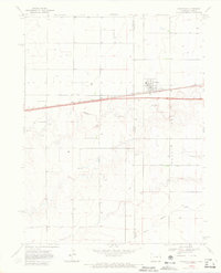
1969 Map of Peconic
USGS Topo · Published 1972About this map
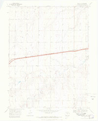
The small stop at Peconic and the high plains of Kit Carson County define this 1969 topographic portrait. The landscape is dominated by the linear path of the Chicago Rock Island and Pacific railroad, which runs parallel to the highway across the northern half of the quadrangle. This transportation corridor serves as the primary artery through an otherwise quiet agricultural and ranching territory, where dozens of scattered wells indicate the critical importance of groundwater management in this arid stretch of eastern Colorado.
Find a feature on this map
10 named features on this map. Tap any name to fly to it.
Don’t see what you’re looking for? This feature index may not catch every label — zoom into the map to look around manually.
Map Details
Editions of this 1969 Peconic Map
3 editions found
Other maps of this area

1954 · Limon
USGS Topo · 1:250,000

1957 · Limon
USGS Topo · 1:250,000

1958 · Limon
USGS Topo · 1:250,000

1969 · Kanorado NE
USGS Topo · 1:24,000

1969 · Burlington
USGS Topo · 1:24,000

1969 · Mount Sunflower NW
USGS Topo · 1:24,000
1969 · Mount Sunflower NE
USGS Topo · 1:24,000

1969 · Kanorado NW
USGS Topo · 1:24,000
1969 · Burlington NE
USGS Topo · 1:24,000
1969 · Kanorado
USGS Topo · 1:24,000