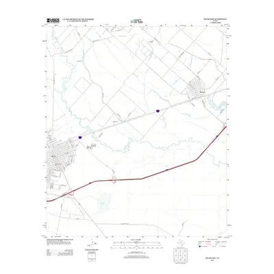
2012 Map of Pecos East
USGS Topo · Published 2012About this map
The Pecos and Barstow settlements anchor this 2012 survey, separated by the winding course of the Pecos River. The landscape reveals a complex network of water management, with the Barstow Canal, Main Line Canal, and numerous lateral branches including Lateral Number One and Lateral Number Two supporting the arid Trans-Pecos environment. In the west, the street grid of Pecos is well-defined, containing local landmarks such as Dean Memorial Park and the Santa Rosa Cemetery. To the northeast, the town of Barstow sits along the Railroad Street corridor, surrounded by irrigation infrastructure and the Barstow Cemetery. Further south, the terrain opens into less developed areas near Mosquito Lake and the drainage of Toyah Creek, illustrating the transition from town centers to the open ranch land typical of this region.
Find a feature on this map
71 named features on this map. Tap any name to fly to it.
Don’t see what you’re looking for? This feature index may not catch every label — zoom into the map to look around manually.
Map Details
Editions of this 2012 Pecos East Map
This is the sole edition of this map. No revisions or reprints were ever made.
Other maps of this area

1921 · Toyah
USGS Topo · 1:125,000

1931 · Barstow
USGS Topo · 1:125,000

1954 · Pecos
USGS Topo · 1:250,000

1957 · Pecos
USGS Topo · 1:250,000

1961 · Soda Lake
USGS Topo · 1:24,000

1961 · Sand Lake
USGS Topo · 1:24,000

1963 · Old X Ranch
USGS Topo · 1:24,000

1963 · Quito Draw
USGS Topo · 1:24,000

1963 · Pecos East
USGS Topo · 1:24,000

1963 · Toyah Lake
USGS Topo · 1:24,000