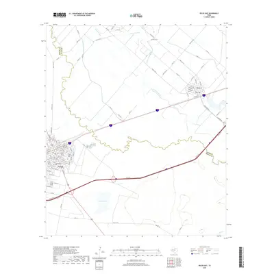
2019 Map of Pecos East
USGS Topo · Published 2019About this map
The Pecos River carves a winding path through the arid landscape of West Texas, separating the cities of Pecos in Reeves County and Barstow in Ward County. This 2019 survey illustrates the complex irrigation network vital to the region's agricultural history, including the Barstow Canal, Main Line Canal, and several laterals such as Lateral Number One. These waterways trace the historic efforts to reclaim the Chihuahuan Desert for farming, centered around the river's flow.
Find a feature on this map
101 named features on this map. Tap any name to fly to it.
Don’t see what you’re looking for? This feature index may not catch every label — zoom into the map to look around manually.
Map Details
Editions of this 2019 Pecos East Map
This is the sole edition of this map. No revisions or reprints were ever made.
Other maps of this area

1921 · Toyah
USGS Topo · 1:125,000

1931 · Barstow
USGS Topo · 1:125,000

1954 · Pecos
USGS Topo · 1:250,000

1957 · Pecos
USGS Topo · 1:250,000

1961 · Soda Lake
USGS Topo · 1:24,000

1961 · Sand Lake
USGS Topo · 1:24,000

1963 · Old X Ranch
USGS Topo · 1:24,000

1963 · Quito Draw
USGS Topo · 1:24,000

1963 · Pecos East
USGS Topo · 1:24,000

1963 · Toyah Lake
USGS Topo · 1:24,000