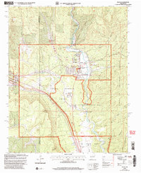
2002 Map of Pecos
USGS Topo · Published 2006About this map
Pecos Pueblo Grant and the Los Trigos Grant converge along the valley of the Pecos River, where the landscape preserves a layered history of land usage and cultural heritage. The settlement of Pecos serves as a central hub, surrounded by institutional landmarks like the Benedictine Monastery and the Lisboa Springs Fish Hatchery. To the south, the Pecos National Historical Park protects archaeological and historical sites, including the Forked Lightning Ranch House and the Visitors Center. This 2002 revision captures the area's transition into a protected historical landscape, with the Glorieta Pass Historic Trail winding through the terrain. Evidence of earlier industry persists at the Terre Mill (Site) near Alamitos Canyon, while local education is anchored by the Pecos High Sch and Pecos Middle and Elementary Sch.
Find a feature on this map
44 named features on this map. Tap any name to fly to it.
Don’t see what you’re looking for? This feature index may not catch every label — zoom into the map to look around manually.
Map Details
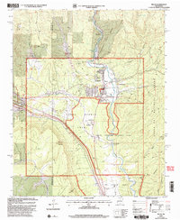
Editions of this 2002 Pecos Map
2 editions found
Other maps of this area

1889 · Santa Fe
USGS Topo · 1:125,000

1894 · Santa Fe
USGS Topo · 1:125,000

1894 · Lamy
USGS Topo · 1:125,000

1953 · Glorieta
USGS Topo · 1:24,000

1953 · Mc Clure Reservoir
USGS Topo · 1:24,000

1954 · Santa Fe
USGS Topo · 1:250,000

1958 · Santa Fe
USGS Topo · 1:250,000

1961 · Honey Boy Ranch
USGS Topo · 1:24,000

1961 · Rosilla Peak
USGS Topo · 1:24,000
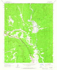
1961 · Pecos
USGS Topo · 1:24,000