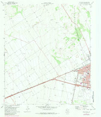
1971 Map of Pecos West
USGS Topo · Published 1981About this map
The western edges of Pecos expand into the Trans-Pecos landscape during the early 1970s, revealing a town shaped by the crossing of the Atchison Topeka and Santa Fe and the Missouri Pacific railroads. The grid of the city reaches toward the open scrubland with residential streets like Washington and Jefferson framing the local community life. This era captures the town's social and infrastructure landmarks, from the Municipal Airport and a nearby Landing Strip to local gathering spots like the Drive-in Theater. Genealogical details are well-preserved in the footprints of Fairview Cem and Mount Evergreen Cem. The map also details the local economy through scattered Gravel Pits and the presence of the Radio Tower (KIUN), reflecting the industrial and communication ties of this Reeves County hub.
Find a feature on this map
25 named features on this map. Tap any name to fly to it.
Don’t see what you’re looking for? This feature index may not catch every label — zoom into the map to look around manually.
Map Details
Editions of this 1971 Pecos West Map
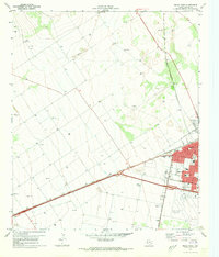
2 editions found
Other maps of this area

1921 · Toyah
USGS Topo · 1:125,000

1931 · Barstow
USGS Topo · 1:125,000

1954 · Pecos
USGS Topo · 1:250,000

1957 · Pecos
USGS Topo · 1:250,000

1961 · Soda Lake
USGS Topo · 1:24,000

1961 · Sand Lake
USGS Topo · 1:24,000

1963 · Pecos East
USGS Topo · 1:24,000

1963 · Toyah Lake
USGS Topo · 1:24,000

1968 · Mentone SW
USGS Topo · 1:24,000

1970 · Hermosa SW
USGS Topo · 1:24,000