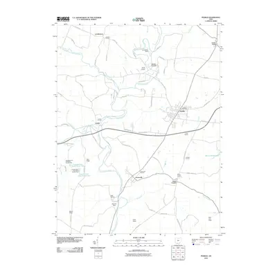
2010 Map of Peebles
USGS Topo · Published 2010About this map
Peebles serves as the primary hub of this eastern Adams County landscape, situated where the local road network converges near the Peebles Post Office and Lewis Airport. The terrain is deeply defined by the winding course of Ohio Brush Creek, which carves through the countryside past distinctive landmarks like Horseshoe Bend and the high ground of Tater Ridge. The area's industrial past is etched into the map through settlements like Marble Furnace and Steam Furnace, reflecting the historical importance of iron production in this part of Ohio.
Find a feature on this map
83 named features on this map. Tap any name to fly to it.
Don’t see what you’re looking for? This feature index may not catch every label — zoom into the map to look around manually.
Map Details
Editions of this 2010 Peebles Map
This is the sole edition of this map. No revisions or reprints were ever made.
Other maps of this area

1915 · Bainbridge
USGS Topo · 1:48,000

1916 · Peebles
USGS Topo · 1:62,500

1917 · Bainbridge
USGS Topo · 1:62,500

1917 · Hillsboro
USGS Topo · 1:62,500

1918 · Peebles
USGS Topo · 1:62,500

1918 · Seaman
USGS Topo · 1:62,500

1944 · Hillsboro
USGS Topo · 1:62,500

1947 · Columbus
USGS Topo · 1:250,000

1957 · Huntington
USGS Topo · 1:250,000

1960 · Huntington
USGS Topo · 1:250,000