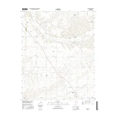
2016 Map of Peggs
USGS Topo · Published 2016About this map
Peggs serves as a central hub in this section of northeast Oklahoma, where the landscape transitions from the dense drainage networks of Spring Cr and Clear Cr to the more open plateaus of the Ozark foothills. The settlement pattern is defined by rural road networks like State Hwy 82C and localized clusters such as Gideon and Teresita. The presence of established burial grounds, including Peggs Cem and New Home Cem, suggests long-standing community roots within this terrain.
Find a feature on this map
77 named features on this map. Tap any name to fly to it.
Don’t see what you’re looking for? This feature index may not catch every label — zoom into the map to look around manually.
Map Details
Editions of this 2016 Peggs Map
This is the sole edition of this map. No revisions or reprints were ever made.
Other maps of this area

1896 · Pryor
USGS Topo · 1:125,000

1898 · Tahlequah
USGS Topo · 1:125,000

1899 · Siloam Springs
USGS Topo · 1:125,000

1901 · Muscogee
USGS Topo · 1:125,000

1901 · Pryor
USGS Topo · 1:125,000

1901 · Tahlequah
USGS Topo · 1:125,000

1903 · Siloam Springs
USGS Topo · 1:125,000

1904 · Siloam Springs
USGS Topo · 1:125,000

1905 · Muscogee
USGS Topo · 1:125,000

1905 · Tahlequah
USGS Topo · 1:125,000