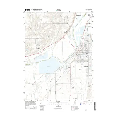
2015 Map of Pekin
USGS Topo · Published 2015About this map
The Illinois River corridor dominates this 2015 study of Central Illinois, where the industrial and residential landscapes of Pekin and Bartonville meet the waterways of the Illinois valley. The massive Powerton Cooling Lake stands out as a significant man-made feature of the river plain, situated between the communities of Powerton and Crescent. This area is particularly dense with genealogical markers, featuring a concentration of burial grounds such as Lakeside Cem, Sacred Heart Catholic Cem, and Lakeview Cem in the city center, while rural cemeteries like Bequaith Cem and Hollis Cem are scattered across the surrounding bluffs. To the west, the winding paths of Lamarsh Cr and the Mackinaw River illustrate the complex hydrology that historically shaped local settlement patterns in Mapleton and Stoehrs.
Find a feature on this map
164 named features on this map. Tap any name to fly to it.
Don’t see what you’re looking for? This feature index may not catch every label — zoom into the map to look around manually.
Map Details
Editions of this 2015 Pekin Map
This is the sole edition of this map. No revisions or reprints were ever made.
Other maps of this area

1905 · Peoria
USGS Topo · 1:62,500

1927 · Peoria
USGS Topo · 1:62,500

1929 · Manito
USGS Topo · 1:62,500

1930 · Glasford
USGS Topo · 1:62,500

1932 · Manito
USGS Topo · 1:62,500

1942 · Delavan
USGS Topo · 1:62,500

1948 · Glasford
USGS Topo · 1:62,500

1949 · Peoria East
USGS Topo · 1:24,000

1949 · Peoria West
USGS Topo · 1:24,000

1950 · Peoria West
USGS Topo · 1:24,000