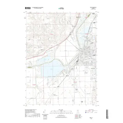
2018 Map of Pekin
USGS Topo · Published 2018About this map
The Illinois River dictates the landscape of this region, separating the industrial and residential centers of Pekin and Bartonville from the westward rural townships. The river's broad floodplain is dominated by significant water bodies and engineering, notably the expansive Powerton Cooling Lake situated just south of Powerton. This industrial footprint is balanced by a dense cluster of burial grounds and community centers, including Sacred Heart Catholic Cem and Veteran's Memorial Cem near the city center, and the more secluded Bequaith Cem to the southwest. The terrain transitions from the river bottomlands up into the bluffs where settlements like Mapleton and Hollis are situated. Numerous tributaries such as Lamarsh Cr and its branches, E Br Lamarsh Cr and W Br Lamarsh Cr, carve through the western hills, defining the early drainage patterns and roadway layouts that persist in this modern survey.
Find a feature on this map
70 named features on this map. Tap any name to fly to it.
Don’t see what you’re looking for? This feature index may not catch every label — zoom into the map to look around manually.
Map Details
Editions of this 2018 Pekin Map
This is the sole edition of this map. No revisions or reprints were ever made.
Other maps of this area

1905 · Peoria
USGS Topo · 1:62,500

1927 · Peoria
USGS Topo · 1:62,500

1929 · Manito
USGS Topo · 1:62,500

1930 · Glasford
USGS Topo · 1:62,500

1932 · Manito
USGS Topo · 1:62,500

1942 · Delavan
USGS Topo · 1:62,500

1948 · Glasford
USGS Topo · 1:62,500

1949 · Peoria East
USGS Topo · 1:24,000

1949 · Peoria West
USGS Topo · 1:24,000

1950 · Peoria West
USGS Topo · 1:24,000