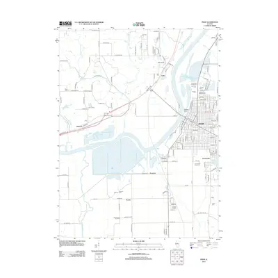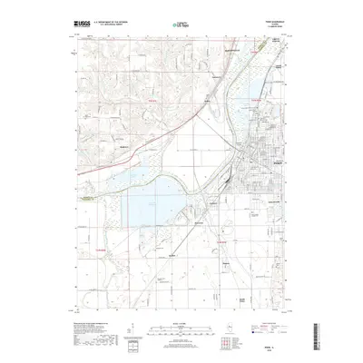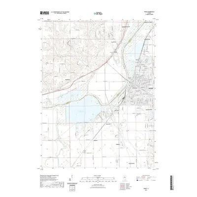
2024 Map of Pekin
USGS Topo · Published 2024About this map
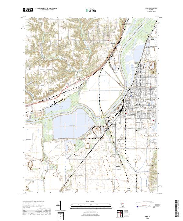
The Illinois River corridor anchors this modern study of Pekin and its industrial and residential surroundings. The landscape is defined by the massive Powerton Cooling Lake and the nearby Powerton facility, reflecting the area's role in power generation and river-based commerce. The city of Pekin itself is a dense grid of streets featuring the Tazewell County Courthouse and numerous historic burial grounds, including Sacred Heart Catholic Cem, Lakeside Cem, and Lakeview Cem.
Find a feature on this map
143 named features on this map. Tap any name to fly to it.
Don’t see what you’re looking for? This feature index may not catch every label — zoom into the map to look around manually.
Map Details
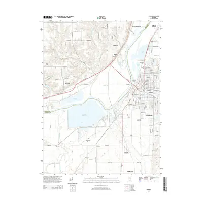
Editions of this 2024 Pekin Map
This is the sole edition of this map. No revisions or reprints were ever made.
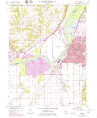
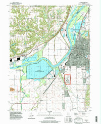
Historical Maps of Pekin Through Time
7 maps found