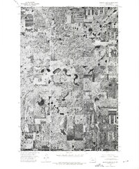
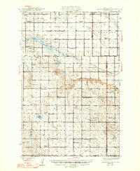
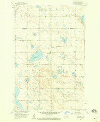
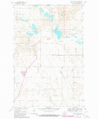
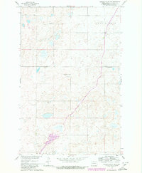
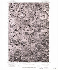
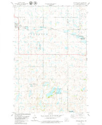
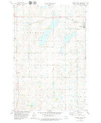
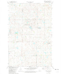
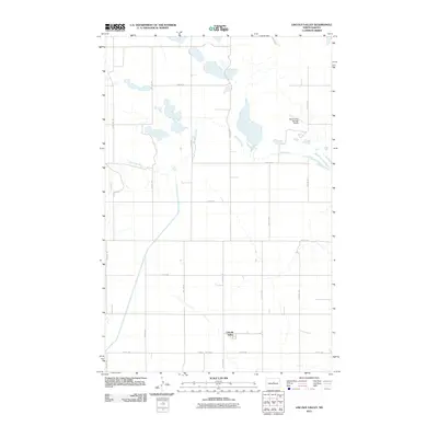
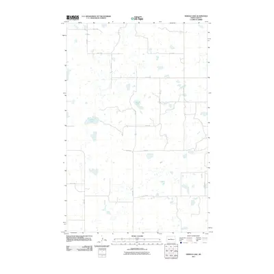
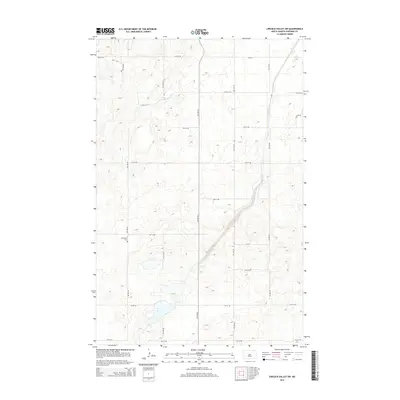
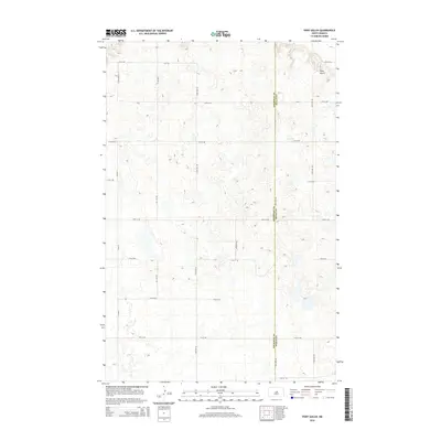
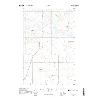
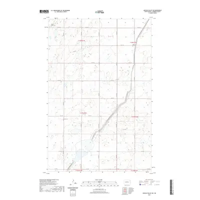
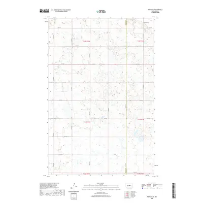
1974 Map of Pelican Lake SE
USGS Topo · Published 1975This historical map portrays the area of Pelican Lake SE in 1974, primarily covering Sheridan County. Featuring a scale of 1:24,000, this map provides a highly detailed snapshot of the terrain, roads, buildings, counties, and historical landmarks in the Pelican Lake SE region at the time. Published in 1975, it is the sole known edition of this map.
Map Details
Editions of this 1974 Pelican Lake SE Map
This is the sole edition of this map. No revisions or reprints were ever made.
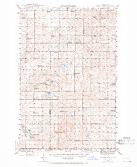
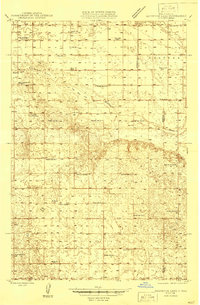
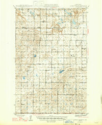
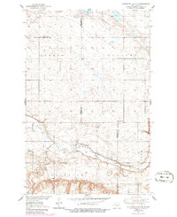
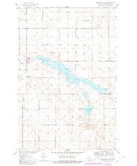
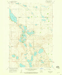
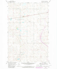
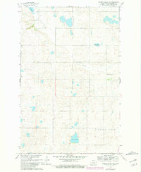
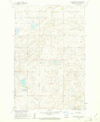
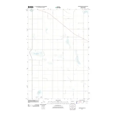
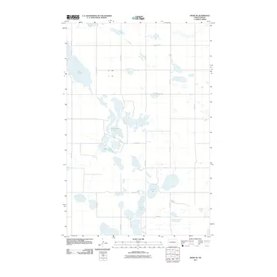
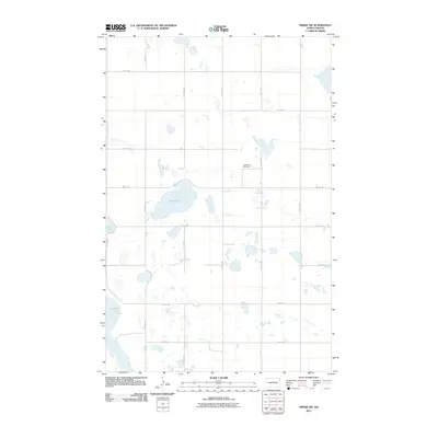
Historical Maps of Sheridan County Through Time
103 maps found
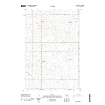
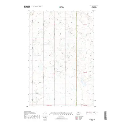
1945 Pelican Lake
Sheridan County, ND
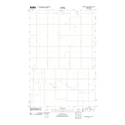
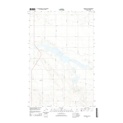
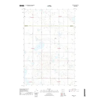
1946 Sheyenne Lake
Sheridan County, ND
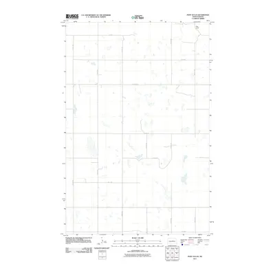
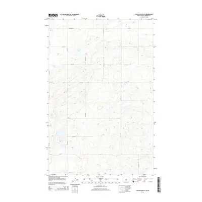
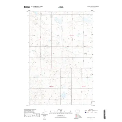
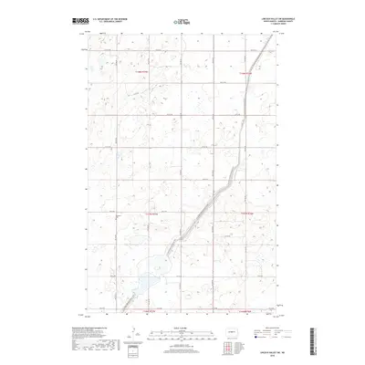
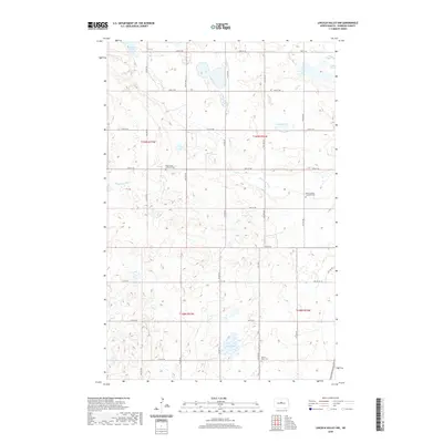
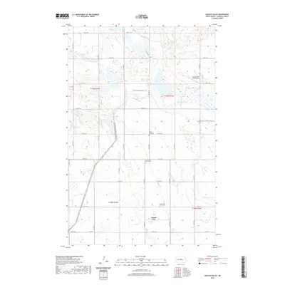
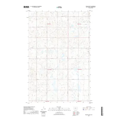
1947 Lincoln Valley
Sheridan County, ND

1947 Pelican Lake
Sheridan County, ND
1947 Sheyenne Lake
Sheridan County, ND
1950 Sheyenne Lake NE
Sheridan County, ND
1950 Sheyenne Lake
Sheridan County, ND

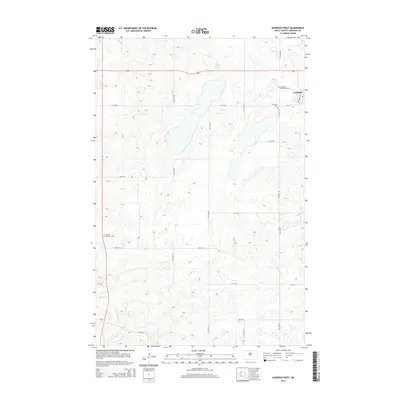
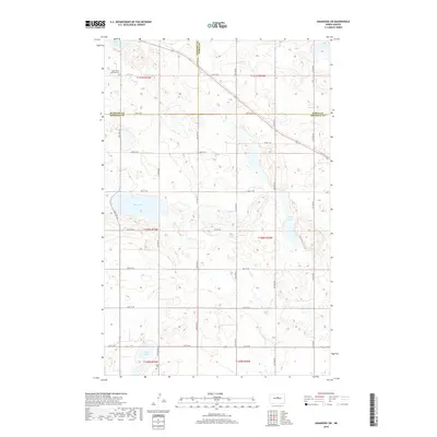
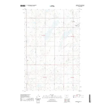
1951 Anamoose SW
Sheridan County, ND
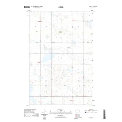
1958 Drake SE
Sheridan County, ND
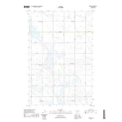
1958 Drake SW
Sheridan County, ND
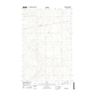
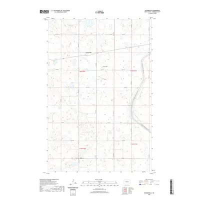
1959 Pickardville
Sheridan County, ND
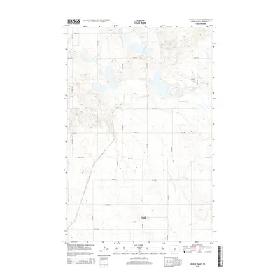
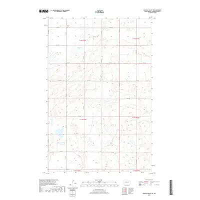
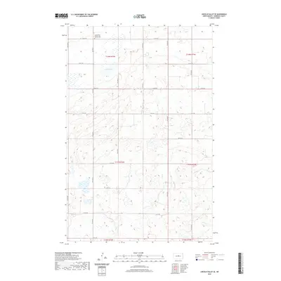
1960 Lincoln Valley NW
Sheridan County, ND
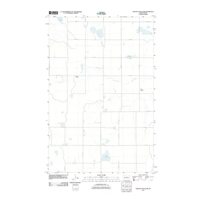
1960 Lincoln Valley SE
Sheridan County, ND
1960 Lincoln Valley
Sheridan County, ND
1960 Lincoln Valley SW
Sheridan County, ND
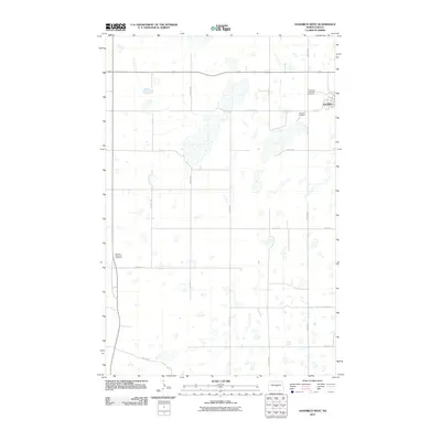
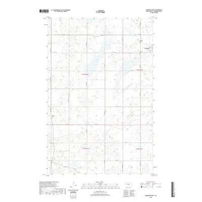
1974 Pelican Lake NE
Sheridan County, ND
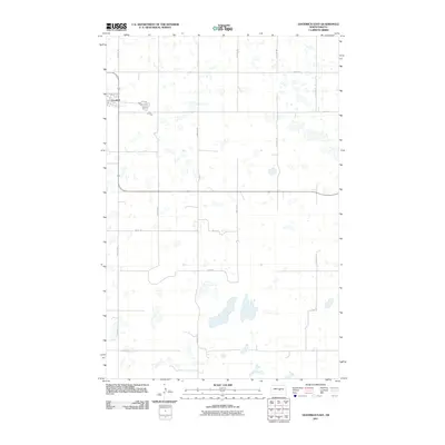
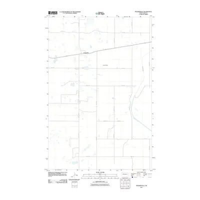
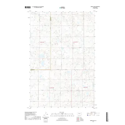
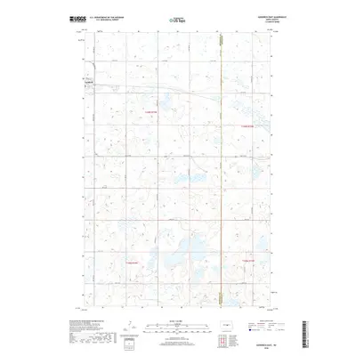
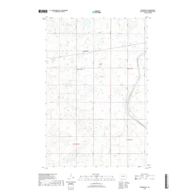
1974 Pelican Lake SE
Sheridan County, ND
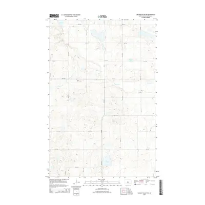
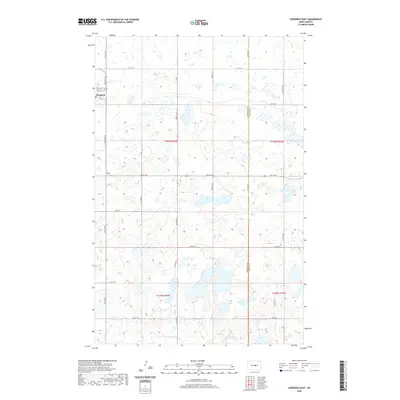
1978 Goodrich East
Sheridan County, ND
1978 Goodrich West
Sheridan County, ND
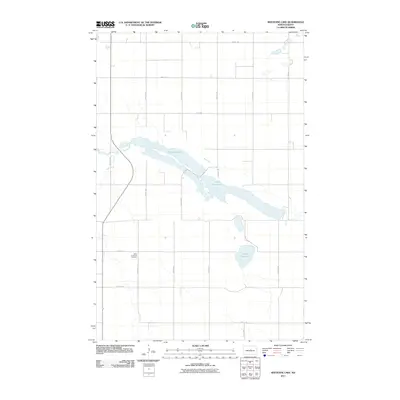
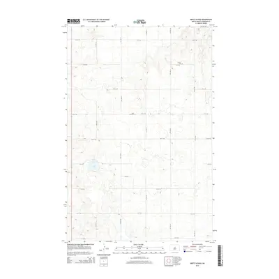
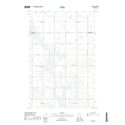
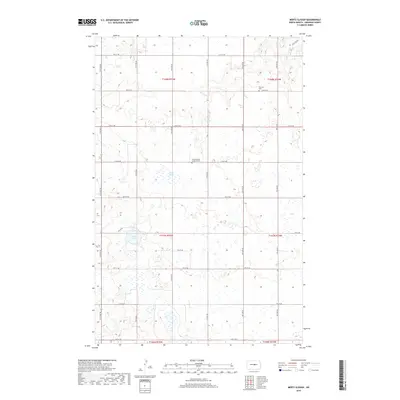
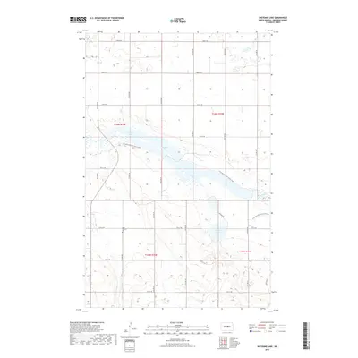
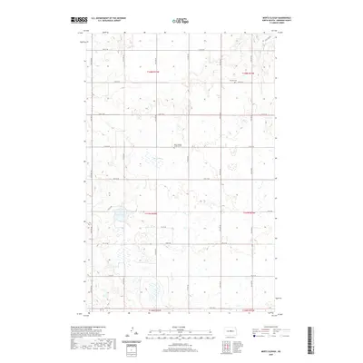
1978 Mertz Slough
Sheridan County, ND
1978 Pony Gulch
Sheridan County, ND
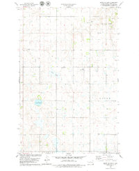
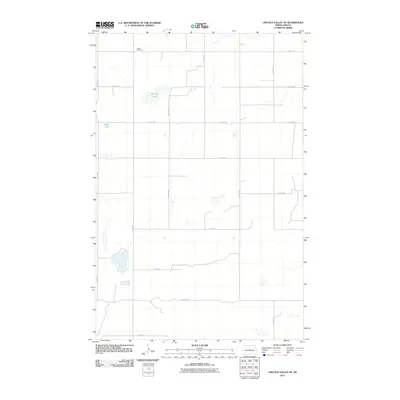
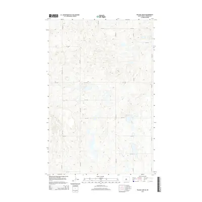
1981 Pelican Lake SE
Sheridan County, ND
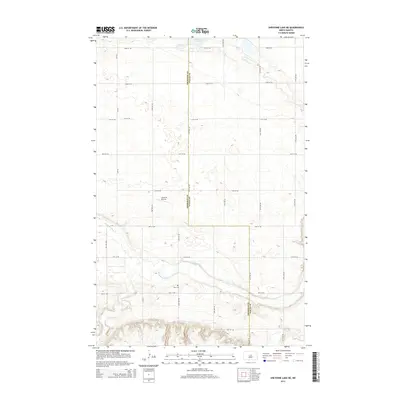
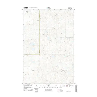
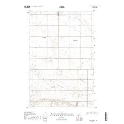
1981 Siebold Lake
Sheridan County, ND
2011 Anamoose SW
Sheridan County, ND
2011 Drake SE
Sheridan County, ND
2011 Drake SW
Sheridan County, ND
2011 Goodrich East
Sheridan County, ND
2011 Goodrich West
Sheridan County, ND
2011 Lincoln Valley NW
Sheridan County, ND
2011 Lincoln Valley SE
Sheridan County, ND
2011 Lincoln Valley
Sheridan County, ND
2011 Lincoln Valley SW
Sheridan County, ND
2011 Mertz Slough
Sheridan County, ND
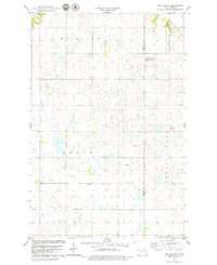
2011 Pelican Lake SE
Sheridan County, ND
2011 Pickardville
Sheridan County, ND
2011 Pony Gulch
Sheridan County, ND
2011 Sheyenne Lake NE
Sheridan County, ND
2011 Sheyenne Lake
Sheridan County, ND
2011 Siebold Lake
Sheridan County, ND

2014 Anamoose SW
Sheridan County, ND
2014 Drake SE
Sheridan County, ND
2014 Drake SW
Sheridan County, ND
2014 Goodrich East
Sheridan County, ND
2014 Goodrich West
Sheridan County, ND
2014 Lincoln Valley NW
Sheridan County, ND
2014 Lincoln Valley SE
Sheridan County, ND
2014 Lincoln Valley
Sheridan County, ND
2014 Lincoln Valley SW
Sheridan County, ND
2014 Mertz Slough
Sheridan County, ND
2014 Pelican Lake SE
Sheridan County, ND
2014 Pickardville
Sheridan County, ND
2014 Pony Gulch
Sheridan County, ND
2014 Sheyenne Lake NE
Sheridan County, ND
2014 Sheyenne Lake
Sheridan County, ND
2014 Siebold Lake
Sheridan County, ND
2017 Siebold Lake
Sheridan County, ND
2018 Anamoose SW
Sheridan County, ND
2018 Drake SE
Sheridan County, ND
2018 Drake SW
Sheridan County, ND
2018 Goodrich East
Sheridan County, ND
2018 Goodrich West
Sheridan County, ND
2018 Lincoln Valley NW
Sheridan County, ND
2018 Lincoln Valley SE
Sheridan County, ND
2018 Lincoln Valley
Sheridan County, ND
2018 Lincoln Valley SW
Sheridan County, ND
2018 Mertz Slough
Sheridan County, ND
2018 Pelican Lake SE
Sheridan County, ND
2018 Pickardville
Sheridan County, ND
2018 Pony Gulch
Sheridan County, ND
2018 Sheyenne Lake NE
Sheridan County, ND
2018 Sheyenne Lake
Sheridan County, ND
2020 Anamoose SW
Sheridan County, ND
2020 Drake SE
Sheridan County, ND
2020 Drake SW
Sheridan County, ND
2020 Goodrich East
Sheridan County, ND
2020 Goodrich West
Sheridan County, ND
2020 Lincoln Valley NW
Sheridan County, ND
2020 Lincoln Valley SE
Sheridan County, ND
2020 Lincoln Valley
Sheridan County, ND
2020 Lincoln Valley SW
Sheridan County, ND
2020 Mertz Slough
Sheridan County, ND
2020 Pelican Lake SE
Sheridan County, ND
2020 Pickardville
Sheridan County, ND
2020 Pony Gulch
Sheridan County, ND
2020 Sheyenne Lake NE
Sheridan County, ND
2020 Sheyenne Lake
Sheridan County, ND
2020 Siebold Lake
Sheridan County, ND
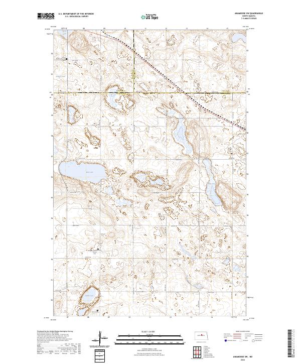
2024 Anamoose SW
Sheridan County, ND
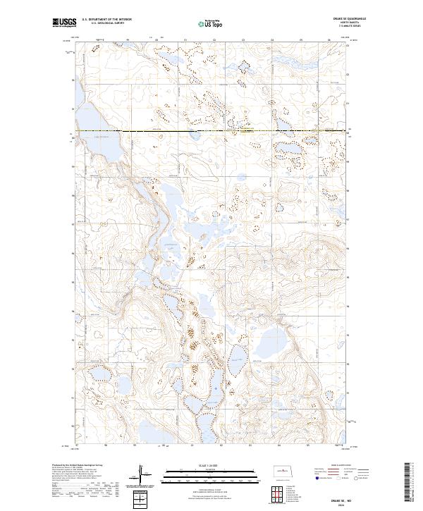
2024 Drake SE
Sheridan County, ND
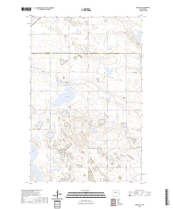
2024 Drake SW
Sheridan County, ND
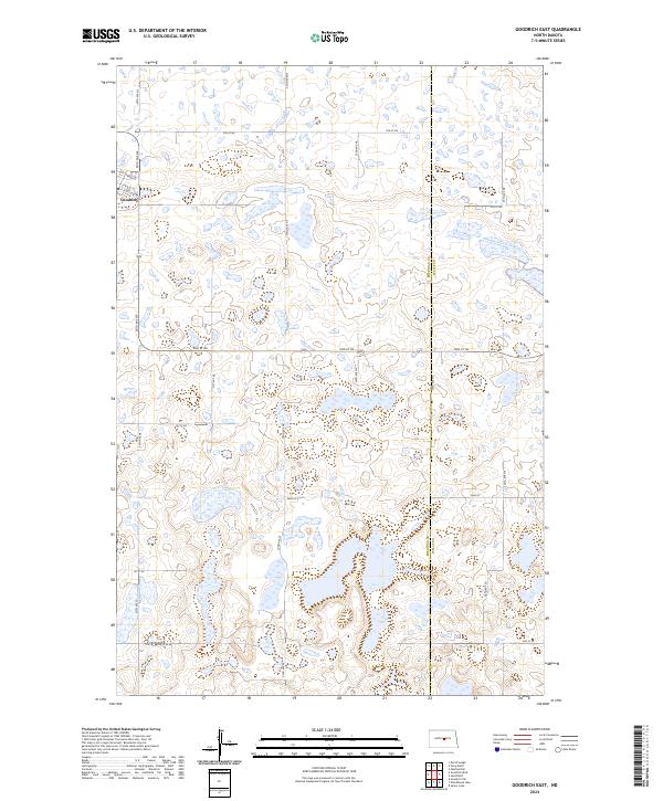
2024 Goodrich East
Sheridan County, ND
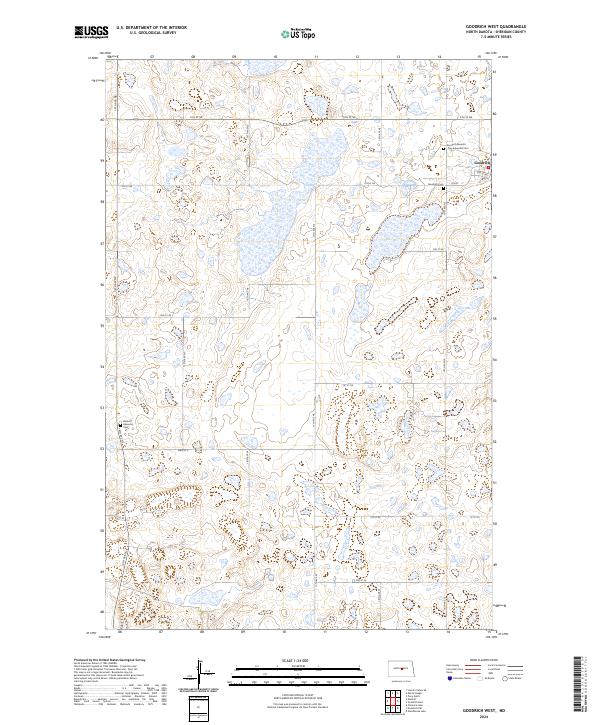
2024 Goodrich West
Sheridan County, ND
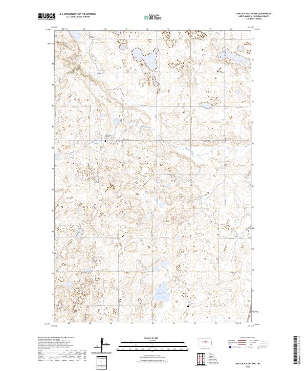
2024 Lincoln Valley NW
Sheridan County, ND
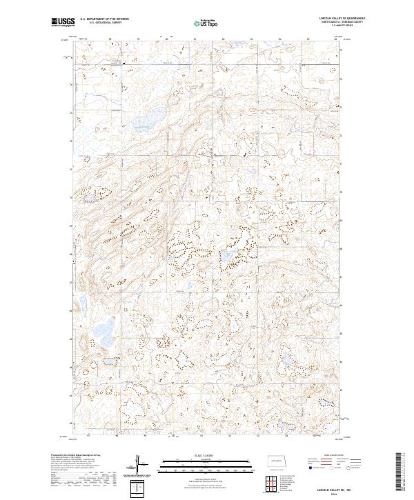
2024 Lincoln Valley SE
Sheridan County, ND
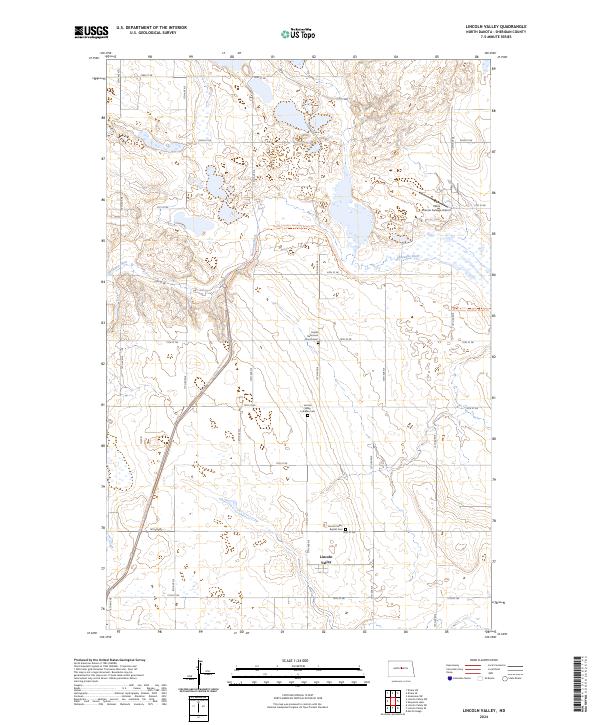
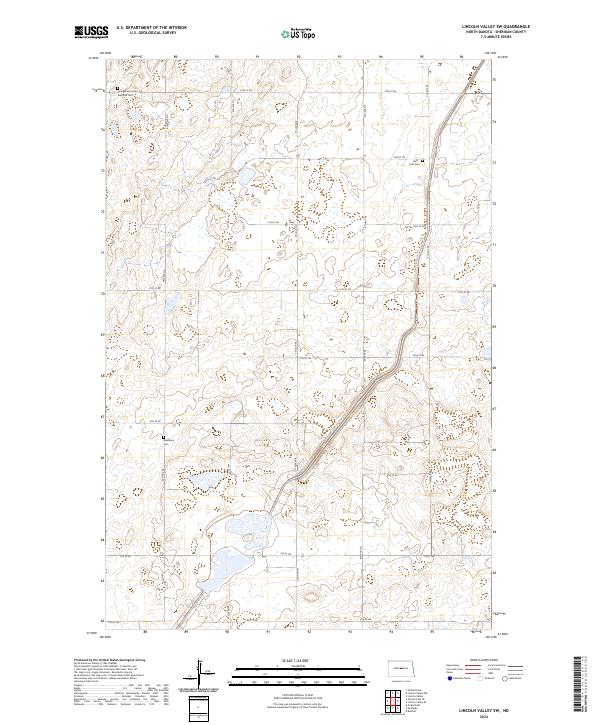
2024 Lincoln Valley
Sheridan County, ND
2024 Lincoln Valley SW
Sheridan County, ND
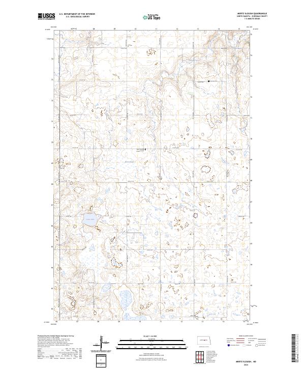
2024 Mertz Slough
Sheridan County, ND
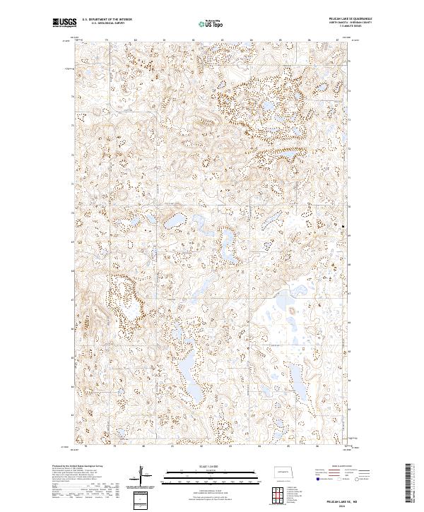
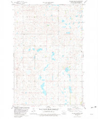
2024 Pelican Lake SE
Sheridan County, ND
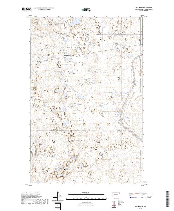
2024 Pickardville
Sheridan County, ND
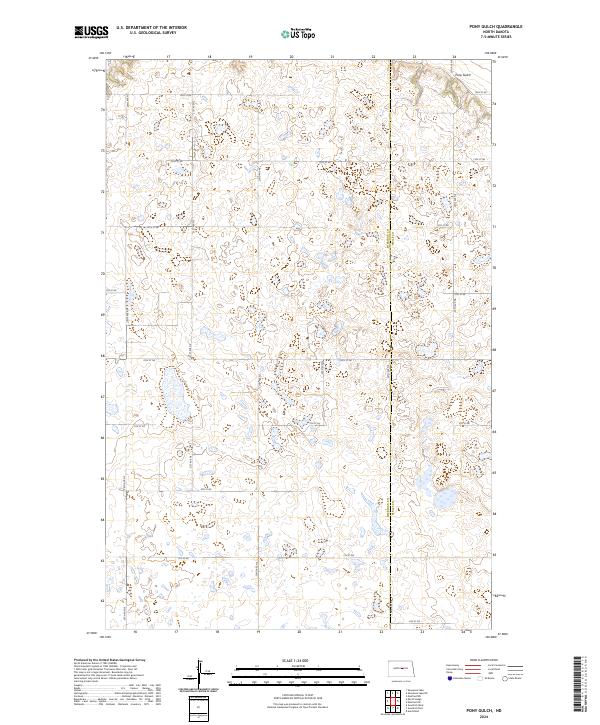
2024 Pony Gulch
Sheridan County, ND
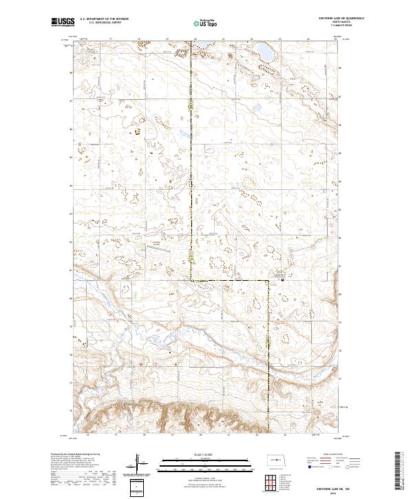
2024 Sheyenne Lake NE
Sheridan County, ND
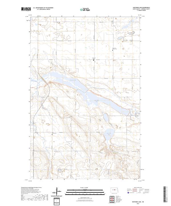
2024 Sheyenne Lake
Sheridan County, ND
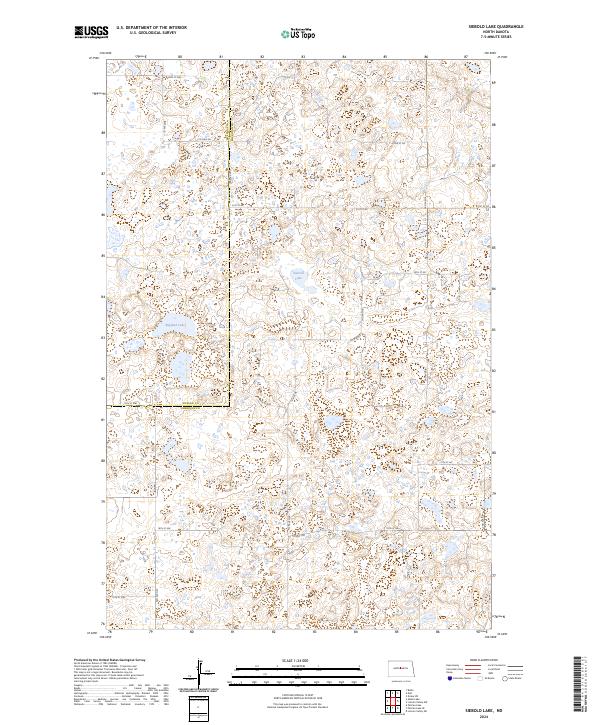
2024 Siebold Lake
Sheridan County, ND