
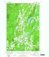
1954 Map of Pelkie
USGS Topo · Published 1956About this map
Pelkie and the surrounding Copper Country forest lands are documented here in the mid-1950s, highlighting a landscape defined by Finnish settlement patterns and timber resources. The survey captures small agricultural and residential clusters like Elo and Tapiola, alongside essential community markers such as the Elo Ch and the Kyto Ch. Local genealogy is well-served by the inclusion of several burying grounds, including the Elo Cem, Karp Cem, and Askel Cem, which reflect the area's pioneer heritage.
Find a feature on this map
53 named features on this map. Tap any name to fly to it.
Don’t see what you’re looking for? This feature index may not catch every label — zoom into the map to look around manually.
Map Details
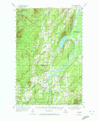
Editions of this 1954 Pelkie Map
Other maps of this area

1915 · Houghton
USGS Topo · 1:62,500

1946 · Chassell
USGS Topo · 1:24,000

1946 · South Range
USGS Topo · 1:24,000

1948 · South Range
USGS Topo · 1:24,000

1948 · Chassell
USGS Topo · 1:24,000

1954 · Graveraet River
USGS Topo · 1:24,000

1954 · Rousseau
USGS Topo · 1:62,500

1954 · Keweenaw Bay
USGS Topo · 1:62,500

1954 · Point Mills
USGS Topo · 1:24,000

1954 · Winona
USGS Topo · 1:62,500