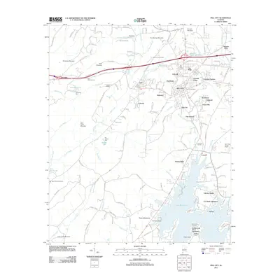
2011 Map of Pell City
USGS Topo · Published 2011About this map
Logan Martin Lake dominates the southern landscape, where the waters of the Toe River and Wolf Creek converge near Harmons Island and Drake Island. This 2011 topographic perspective highlights the suburban and rural residential patterns around the city center, from the established streets of Pell City to the newer developments like Davis Subdivision and Griffitts Lake Shore Subdivision. The terrain is defined by a series of prominent ridges, including Chulavista Mountain and Savages Mountain, which flank the corridors of transit and growth. Genealogists and local historians will find a wealth of specific identifiers, from the Pell City Post Office to numerous family-named landmarks and burial grounds like Boykin Truitt Cemetery and Mount Pleasant Cemetery. The map also traces the infrastructure of the era, from the Saint Clair County Airport to the water-management structures of Lewis Dam and W L Golden Dam.
Find a feature on this map
165 named features on this map. Tap any name to fly to it.
Don’t see what you’re looking for? This feature index may not catch every label — zoom into the map to look around manually.
Map Details
Editions of this 2011 Pell City Map
This is the sole edition of this map. No revisions or reprints were ever made.
Other maps of this area

1889 · Springville
USGS Topo · 1:125,000

1890 · Talladega
USGS Topo · 1:125,000

1892 · Springville
USGS Topo · 1:125,000

1892 · Talladega
USGS Topo · 1:125,000

1943 · Talladega
USGS Topo · 1:62,500

1946 · Talladega
USGS Topo · 1:62,500

1947 · Ragland
USGS Topo · 1:62,500

1947 · Ragland
USGS Topo · 1:24,000

1947 · Riverside
USGS Topo · 1:24,000

1951 · Vincent
USGS Topo · 1:24,000