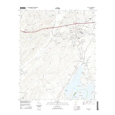
2014 Map of Pell City
USGS Topo · Published 2014About this map
Pell City and the surrounding St. Clair County landscape are defined by the expansive reach of Logan Martin Lake and a series of prominent ridges including Chulavista Mtn, Pond Mtn, and Wolf Creek Mtn. The settlement pattern reflects the area's growth, with distinct neighborhoods and communities like Crestview Gardens Avondale Village, Harrisburg, and Oak Ridge clustered near the urban center, while more dispersed locales like Stewarts and Cropwell occupy the outskirts.
Find a feature on this map
197 named features on this map. Tap any name to fly to it.
Don’t see what you’re looking for? This feature index may not catch every label — zoom into the map to look around manually.
Map Details
Editions of this 2014 Pell City Map
This is the sole edition of this map. No revisions or reprints were ever made.
Other maps of this area

1889 · Springville
USGS Topo · 1:125,000

1890 · Talladega
USGS Topo · 1:125,000

1892 · Springville
USGS Topo · 1:125,000

1892 · Talladega
USGS Topo · 1:125,000

1943 · Talladega
USGS Topo · 1:62,500

1946 · Talladega
USGS Topo · 1:62,500

1947 · Ragland
USGS Topo · 1:62,500

1947 · Ragland
USGS Topo · 1:24,000

1947 · Riverside
USGS Topo · 1:24,000

1951 · Vincent
USGS Topo · 1:24,000