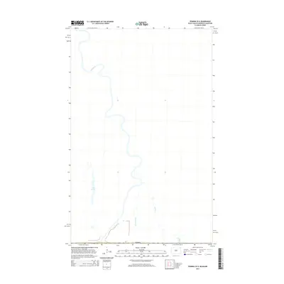
2014 Map of Pembina OE N
USGS Topo · Published 2014About this map
The Red River winds north toward the international boundary with Canada in this 2014 study of the borderlands north of Pembina. The terrain is defined by the complex hydrology of the Red River Valley, where the main channel is joined by the meandering Joe River and the smaller Bradley Coulee. This specific quadrangle captures a sparsely populated stretch of the river corridor where the water serves as the primary geographic marker.
Find a feature on this map
5 named features on this map. Tap any name to fly to it.
Don’t see what you’re looking for? This feature index may not catch every label — zoom into the map to look around manually.
Map Details
Editions of this 2014 Pembina OE N Map
This is the sole edition of this map. No revisions or reprints were ever made.
Other maps of this area

1939 · Pembina
USGS Topo · 1:62,500

1941 · Bathgate
USGS Topo · 1:62,500

1941 · Pembina
USGS Topo · 1:62,500

1952 · Thief River Falls
USGS Topo · 1:250,000

1956 · Thief River Falls
USGS Topo · 1:250,000

1957 · Thief River Falls
USGS Topo · 1:250,000

1967 · Thief River Falls
USGS Topo · 1:250,000
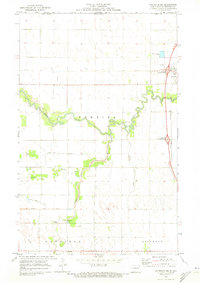
1970 · Bathgate NE
USGS Topo · 1:24,000
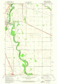
1972 · Pembina
USGS Topo · 1:24,000
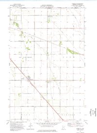
1974 · Humboldt
USGS Topo · 1:24,000