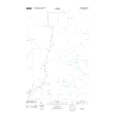
2013 Map of Pembine
USGS Topo · Published 2013About this map
The town of Pembine serves as the focal point for this Northeastern Wisconsin landscape, situated at the junction of Us-8 and Us-141. This 2013 survey illustrates a region defined by its complex hydrography, particularly the winding courses of the North Br Pemebonwon River and South Br Pemebonwon River. Notable cataracts including Smalley Falls and Long Slide Falls highlight the rapid elevation changes along these waterways as they move through the forested terrain of Marinette County.
Find a feature on this map
58 named features on this map. Tap any name to fly to it.
Don’t see what you’re looking for? This feature index may not catch every label — zoom into the map to look around manually.
Map Details
Editions of this 2013 Pembine Map
This is the sole edition of this map. No revisions or reprints were ever made.
Other maps of this area

1939 · Pembine
USGS Topo · 1:48,000

1939 · Dunbar
USGS Topo · 1:48,000

1939 · Iron Mountain
USGS Topo · 1:48,000

1941 · Dunbar
USGS Topo · 1:48,000

1941 · Iron Mountain
USGS Topo · 1:48,000

1947 · Pembine
USGS Topo · 1:48,000

1947 · Dunbar
USGS Topo · 1:48,000

1947 · Iron Mountain
USGS Topo · 1:48,000

1954 · Iron Mountain
USGS Topo · 1:250,000

1954 · Escanaba
USGS Topo · 1:250,000