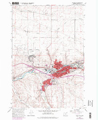
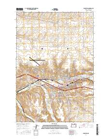
1953 Map of Pendleton
USGS Topo · Published 1964About this map
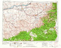
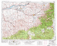
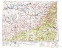
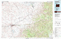
The Old Oregon Trail winds across the plateau of Northeastern Oregon in this mid-century survey, tracing a path through a landscape defined by the Columbia River and the rising slopes of the Blue Mountains. The region reflects a complex layering of agricultural, indigenous, and military land use, centered around the settlement at Pendleton. The presence of the Umatilla Indian Reservation sits adjacent to heavy industrial and military installations like the Umatilla Ordnance Depot and the Boardman Bombing and Gunnery Range.
Find a feature on this map
109 named features on this map. Tap any name to fly to it.
Don’t see what you’re looking for? This feature index may not catch every label — zoom into the map to look around manually.
Map Details
Editions of this 1953 Pendleton Map
4 editions found

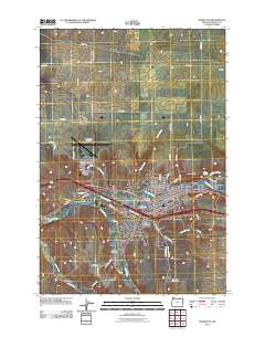
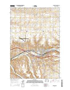
Historical Maps of Pendleton Through Time
10 maps found
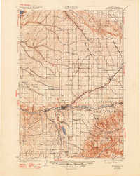
1935 Pendleton
Umatilla County, OR
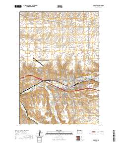
1953 Pendleton
Umatilla County, OR

1956 Pendleton
Umatilla County, OR
1966 Pendleton
Umatilla County, OR
1983 Pendleton
Umatilla County, OR
2011 Pendleton
Umatilla County, OR
2014 Pendleton
Umatilla County, OR
2017 Pendleton
Umatilla County, OR
2020 Pendleton
Umatilla County, OR
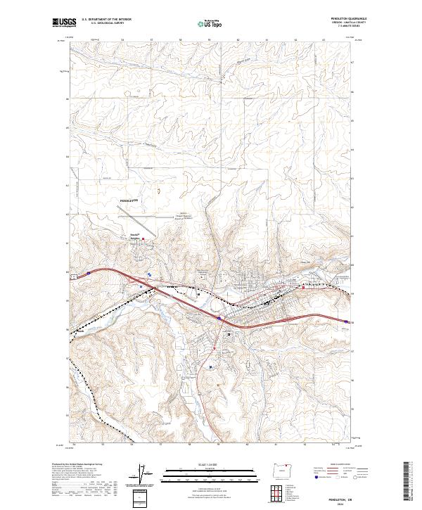
2024 Pendleton
Umatilla County, OR